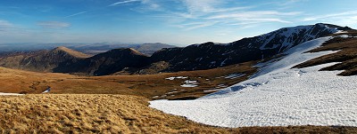
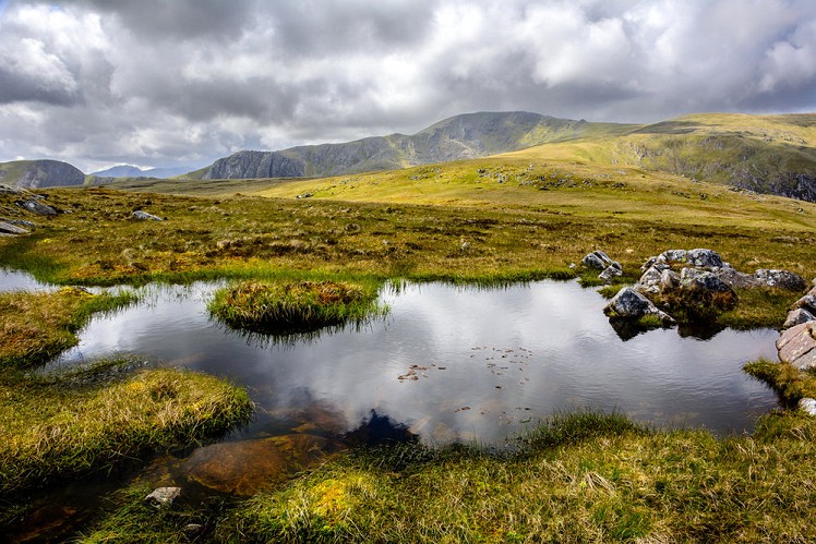
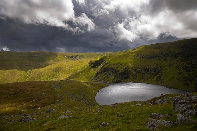
This is a nice way to enjoy the 3000ft+ hills situated in the more obscure northern part of the Carneddau range. They are all pleasant rounded summits with a lovely remote setting, and can often be savoured without the crowds associated with more popular areas like Snowdon and the Glyderau. The high starting point in Cwm Eigiau means that it is also a fairly easy walk to accomplish relative to the size of the hills.
Fetching Map
Height Profile
metres / Distance
miles
Detailed description
1
SH7317666332 From the car parking at the end of the single track lane head northwest along a 4x4 track for 500m or so. Just before the track heads more steeply up hill another track leads off the right and skirts around the spur. Follow this track all the way to a dam on the Afon Dulyn.
2
SH7245867547 Cross the stream and then turn left and cross the tributary and follow the path across often boggy ground to the next much smaller stream. Turn right and handrail this up past a large network of sheepfolds and continue on for 300m or so to another higher traversing footpath.
3
SH7113667825 Turn left and follow the path as it rises towards the col separating Foel Fras and Carnedd Gwenllian. At the col turn right and ascend to the summit of Foel Fras.
4
SH6963268137 Retrace your steps to the col and then climb to the summit of Carnedd Gwenllian.
5
SH6876766936 Carry on along the broad ridge past a col to the next summit, Foel Grach.
© David Dear, Apr 2010
6
SH6887665872 Head southeast of the summit to pick up a path that leads down the broad ridge to just before a large flat shoulder of Gledrffordd. The path now heads right and picks up a small stream that leads down to an abandoned mining complex in Cwm Eigiau.
7
SH7029063611 Follow the large track down Cwm Eigiau. After 1.5km this crosses the watercourse and starts to rise up the other side of the valley a short way and traverses above Llyn Eigiau before turning back left to a breach in the old dam.
8
SH7230664972 Follow the 4x4 track northeast back to the parking at the end of the single track road.
This has been viewed 3,276 times
Download
OS maps and some other mapping apps don't allow waypointsStatistics
Difficulty: ModerateDistance: 10.38 miles (16.70 km)
Total ascent: 761m
Time: 5 – 8 hours (Walking)
Voting:
from 1 votes
Login as Existing User
to rate this walk.
to rate this walk.
Additional Information
Start/Finish:The end of the dead-end road on Cwm Eigiau, SH731664
Nearest town:
Llanrwst
Terrain:
The terrain is rolling moorland in a mountainous setting. There are numerous bogs, especially from the dam to first col, but after this the ground greatly improves.
Seasonal variations:
The highest peaks will be affected by snow and the Carneddau does seem to get more snow than other areas, which can make progress very difficult if the snow is deep.
Weather and Hill Conditions: mwis: Snowdonia – Met Office: Snowdonia
Public transport:
No public transport to Cwm Eigiau, but the Vale of Conwy is better served.
Maps:
OS Explorer OL17 (1:25,000), Harvey/BMC Snowdonia (1:40,000), OS Landranger 115 (1:50,000) Directory Listings:
Find more Listings near this route Tourist info:
Betws-y-Coed (01690 710426); Conwy (01492 592248); Bangor (01248 352786)
Further Routes
by Mark Reeves
- Snowdon via the Llanberis Path, and down the Snowdon Ranger 9 Oct, 2020
- Dolwyddelan - The Cwm Penamnen Horseshoe 10 Jul, 2020
- Maesglase, a Mid Wales Gem 24 Apr, 2020
- Moel Hebog to Moel Lefn 5 Mar, 2020
- Cwm Cneifion in Winter - Hidden Gully and Y Gribin 20 Feb, 2020
- Dartmoor - The North Moor from Princetown 12 Feb, 2020
- Snowdon Via the South Ridge and the Watkin Path 21 Dec, 2019
- Glyder Fach and Glyder Fawr from the Pen Y Gwryd 27 Nov, 2019
- The New Forest: Abbot's Well - Fritham Circuit 26 Aug, 2019
- The Atlantic Ridge of Carnedd Y Filiast 7 Aug, 2019


The name is Llanrwst not Llanwrst.
Before anyone says I’m being pedantic, I’m a native of the town and this happens all the bloody time........
Thanks... sorry!
It can get busy at the start, and if the parking is full, its tricky (you can't!) to find another nearby spot
Looks nice, looking forward to being able to go back to Snowdonia! I was planning a similar walk earlier this year, going up south of melynllyn, but never got to do it! Was in a cold snap when I tried to get to the llyn Eigiau car park and there was a sheet of ice across an incline on the road about a mile away that I couldn't get up. Had to reverse back to a passing place and turn round and drive back, did a walk from Ogwen instead.
If you want a day that's a bit longer; instead of heading up into the Cwm, branch off just before Cedryn cottage take the track to the quarry then head up the hillside over Pen Llithrig y Wrach then Pen yr Helgi Du and Craig yr Ysfa before heading to Carnedd Llewellyn