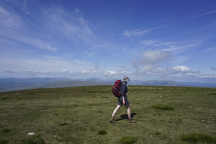
Black Combe stands alone in the south-western corner of the Lake District, isolated from the rest of the big fells; and with a summit just four miles from the Irish Sea, a circuit of this peak feels like a coastal walk. There aren't many places like this – from the summit you can expect views of all the highest mountains in England, as well as clear views of the West Duddon Wind Farm, the Isle of Man, and all the way up the west coast to Criffel across the Solway Firth.
Fetching Map
Height Profile
metres / Distance
miles
Detailed description
1
SD1354182695 Begin by heading north on the small path between the church and Whicham Old School. This path leads to a narrow road, with tall hedges on either side. Turn left on this road, which soon gives way to a gravelly green lane heading gently uphill.
2
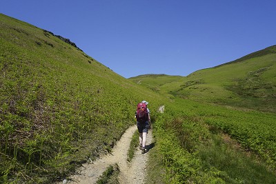
SD1307182851 Once out in the open, at the end of the short green lane, turn right to meander uphill on a big, obvious path surrounded by bracken, into the Moor Gill valley. The expansive sands of the Duddon Estuary can be seen to the south, and after rising above Seaness on the left, the vista to the west is of the Irish Sea. Upon reaching the false summit of Townend Knotts, the real and much darker summit of Black Combe appears ahead. Grass and bracken surrounds the path from here to the top.
3
SD1354785476 A round stone shelter and trig point mark the summit of Black Combe. In the first decade of the 19th century, this was one of five stations in Cumberland used by the Ordnance Survey to measure the Principal Triangles for the initial survey of Great Britain. The high fells of the Lake District, including the Scafell and Coniston groups, can be seen far away to the north, emphasising the isolated nature of this outlying Lakeland fell. It is easy to go wrong here, as there is an obvious path heading north-east towards White Combe, but head north to join the broad grassy path for a leisurely stroll downhill to Charley Fold. The path curves off to the west, then has one final northward flourish before looping back to lead down past Butcher's Breast to a stream crossing.
4
SD1175087063 A handful of trees give the first natural shelter for a while. Shortly after crossing Hallfoss Beck, the path levels out and the way on is an obvious trail south, with bracken-covered slopes to the left and fields leading across to the Irish Sea to the right. Just south of the uninhabited Fell Cottage, there is a section that will be boggy whatever the weather - a good place to look for sundews and dragonflies.
5
SD1180784560 After passing the houses and waterwheel at Whitbeck, take a sharp left uphill, then at the corner of the wall turn right, uphill, to join a path that traverses across the hillside. Now follow the obvious path south, which soon meets a drystone wall. After crossing Townend Gill, things can be slightly confusing, but head uphill to follow a small path beside a fence above the gorse. Cross a big track heading diagonally uphill and continue on the small path heading down through bracken. With a sigh of relief, join the footpath at a pit and follow this path just above the road. The path passes through a small bluebell wood. There are a few options on this path back, but keep it sensible and you'll end up in the right place.
This has been viewed 1,267 times
Download
OS maps and some other mapping apps don't allow waypointsStatistics
Difficulty: ModerateDistance: 8.45 miles (13.60 km)
Total ascent: 674m
Time: 4 – 6 hours (Walking)
Voting:
from 2 votes
Login as Existing User
to rate this walk.
to rate this walk.
Additional Information
Start/Finish:St Mary's Church, Whicham. A small car park just off the A595 with an honesty box, SD134827
Nearest town:
Millom
Terrain:
Mostly on easy, broad, grassy paths. A couple of boggy sections near Whitbeck.
Public transport:
Silecroft station, on the Cumbrian Coast Line between Carlisle and Barrow-in-Furness, is a short walk away.
Weather and Hill Conditions:
mwis: Lake District – Met Office: Lake District Maps:
OS Explorer OL6 (1:25,000), OS Landranger 96 (1:50,000) Directory Listings:
Find more Listings near this route Tourist info:
Millom (01229 774 819); Broughton-in-Furness (01229 716 115); Barrow-in-Furness (01229 876 505)
Further Routes
by Chris Scaife
- Stoupdale Head and White Combe 28 Sep, 2023
- Keswick to Ambleside, via the Helvellyn range 26 Jul, 2023
- High Rigg 29 Mar, 2023
- Reston Scar, Hugill Fell and Black Crag 15 Nov, 2022
- Kentmere Horseshoe from Kendal 29 Sep, 2022
- Lyke Wake Walk 21 Aug, 2022
- Whitbarrow 3 Jul, 2022
- Wild Boar Fell and Swarth Fell - a walk on the wild side 14 Jun, 2022
- Hawnby Hill - A Little Yorkshire Gem 1 Feb, 2022
- Kendal Fell, Cunswick Scar, and Scout Scar 20 Dec, 2021


Excellent route over an under-rated hill that gives magnificent views over the sea.
Years ago I seem to remember a report of a cat being found on the summit by a member of the local MRT who then adopted it (or it them as is the cat way). It makes you wonder what it was doing up there.
Also a good hill for Trains back to your start point Even walk on a bit to Eskdale