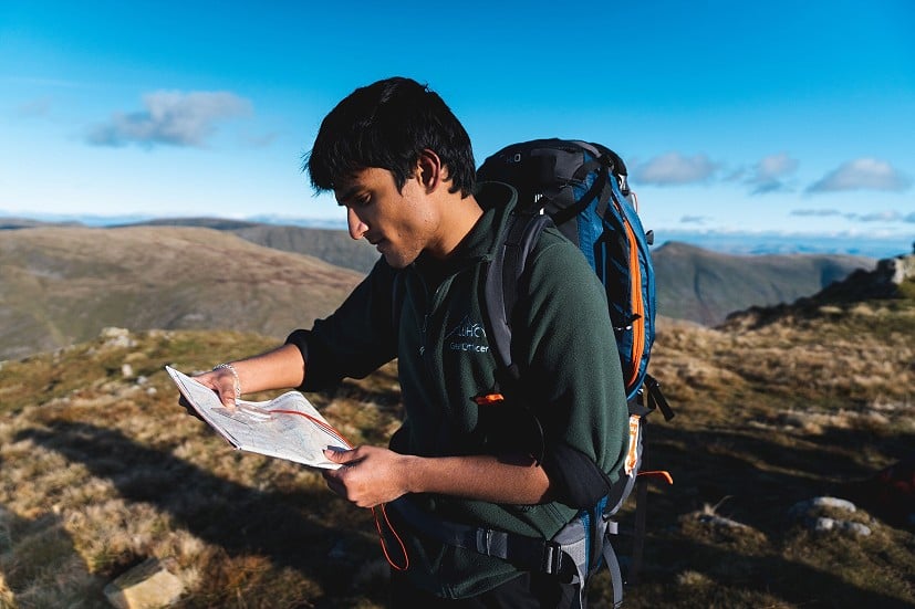
Why Learn to Navigate?
Getting lost is unsettling, can waste a lot of time, and occasionally proves dangerous, says Nicola Jasieniecka of Mountain Training. But navigating effectively isn't just about avoiding unpleasantness: it can be deeply satisfying too, enriching your sense of connection with the world around you. It's not a dark art; anyone can give it a go, and we can all work on improving our skills...
Humans have always navigated. In the beginning, the purpose of navigation was presumably to find our way home after a day spent hunting or gathering. The tools we use have changed over time, from wooden tablets and the stars, through sextants and road atlases (I still like using one but I'm definitely in the minority), to accurate maps, smart phones and GPS.
Most people know their way home from the local shops without the use of a map. That is probably just as well. According to Ordnance Survey research, 77% of UK adults can't read a map. On the other hand 87% of people responding to a Mountaineering Scotland survey said they have used a phone or GPS for navigating at some point during their walks.
So why should we bother learning to navigate when we know our way around our local area without recourse to a paper map, while mapping apps can guide us everywhere else?
When someone can navigate well, it's not magic, they're just good at observing the world around them and using that information to help make decisions
It's worth pointing out this is not an article about digital vs paper maps in the mountains. Both can be excellent, when coupled with navigation skills, and both have their limitations. Without any ability to navigate, your best options are to depend on other people or technology, or spend a lot of time getting lost. Without descending into endless 'what if…?' scenarios, there can be consequences if you don't know how to navigate. The benefits of knowing how to navigate include increased freedom to explore, emergency preparedness and a sense of self-reliance.
Let's start with the alternative…
Follow someone or something
Reliance on other people or technology happens all the time in the hills, for example when people hire someone, preferably qualified and current, to guide them. Days being led allow for a generally relaxed experience because someone else is responsible for making the decisions, and all you have to do is put one foot in front of the other (which can be hard enough on some routes) and enjoy the view.
The technological equivalent is to download a route to your digital mapping app and follow the on-screen instructions at every turn. The low-tech version might involve following a waymarked path. However, these aren't actually equivalent to following a leader, as the qualified leader is likely to bring other virtues with them, such as engaging conversation, fun facts about the area and a first aid certificate in case you get a blister, qualities that a mapping app would struggle to match (at least in 2023!). Through experience, leaders have also developed their judgement and decision-making skills to know which route is likely to be most appropriate for you or the group, bearing in mind the ground conditions and weather forecast, how to mitigate the risks involved in hill walking and what to do in an emergency.
The limitations of following a digital route or on-the-ground waymarkers include being 100% reliant on the information you're given being correct; lacking any opportunity for route variation or adjustment for individual ability, motivation, conditions or weather; and no help or support in an emergency.
Journey towards autonomy
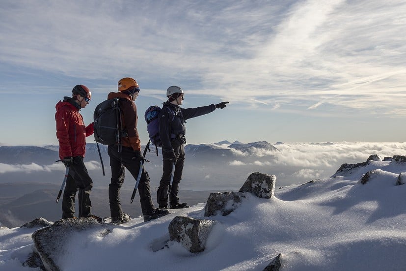
This isn't a binary choice - autonomous hiker or follower - it's a continuum. Self reliance is one of the best things about hill walking, especially in the UK. Learning some basic navigation skills gives you so many options and opportunities for new experiences, allowing you to choose when to forge ahead independently and when to utilise other people and tools to help you explore. If you reach the fully autonomous end of the scale, there are no limits. Apart from the weather. And work. And your other life commitments.
Connect to the world around you
Anyone can learn to navigate, and possessing some ability can be immensely beneficial
The heightened awareness that comes from consciously observing what's around you not only helps you navigate more effectively but also deepens your connection to the environment. When you're more observant, as well as how many gates you've been through, you might notice small things like wild orchids and bigger things like a U or V-shaped valley. Those wildlife and landscape documentaries you've watched on TV are taking place right now on the route you're planning to walk – have you noticed?
The whispered first line of Madonna's song, Vogue, holds the keystone to navigation: What are you looking at?
If you can get into the habit of remembering what you've seen, it also means that if your app can't get enough satellites to locate your position, or you stopped following your route on the map, you have some information to help you work out where you are or retrace your steps to your last known location.
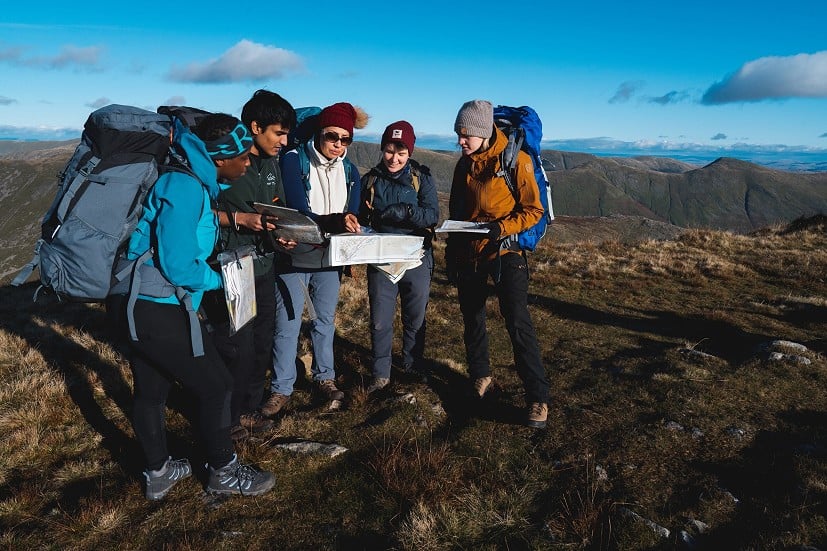
When you start paying closer attention to your surroundings, noticing landmarks and features like rivers, walls and hills, you're collecting the clues that will ultimately allow you to navigate. Contrary to popular belief, when someone can navigate well, it's not magic or a dark art, they're just really good at observing the world around them and using that information to help them make decisions.
Top tip 1: notice what's around you and what you're walking past
Plan your own adventure
Once you know what the map is telling you, you can plan your own routes to take in all the pubs along the way, or plan to detour to the trig point even though it's not on the path, not just follow a route someone else has done.
The signs and symbols, and level of detail, can be quite overwhelming the first time you look at an Ordnance Survey (OS) or HARVEY map of the hills. Whether it's digital or physical, it can take a while to believe what you're seeing. I spent years using a road atlas to navigate on various car journeys with my family before I learnt to navigate in the hills. I learned that road atlases focus on the information drivers want to know about, like roads, motorways and service stations, and because of the speed you travel in a car, they're pretty small scale (1:200,000 or 1:250,000). The level of detail they provide about everything else is therefore somewhat variable and at times borders on unreliable.
OS and HARVEY maps, by contrast, are much larger scale (1:25,000, 1:40,000 or 1:50,000) and do their best to show you what's there, so you can decide what's important. It took a long time before I could really take in what I was seeing on the map and I was constantly surprised by and impressed with how accurate they were.
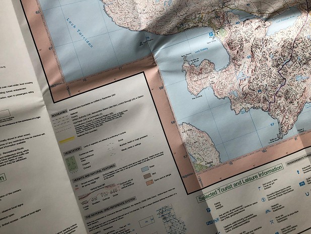
Top tip 2: read the legend on the map and start to learn the common signs and symbols
The legend is normally in the corner on a physical map and in the menu on a mapping app. Not all maps use the same colours to denote the same features and the smaller the scale, the more detailed the map.
My favourite collection of symbols are the blue icons used to denote 'Tourist and Leisure Information' on OS 1:25,000 maps. After finally getting to grips with the detail on the map and it matching perfectly with what was on the ground, it was quite amusing to be asked to navigate to the beak of the big blue duck (which indicates a nature reserve). Needless to say the blue duck wasn't there when I arrived and I was quite disappointed. On a more serious note, footpaths exist on the ground, but rights of way as shown on the map might not exist in real life. This nugget has caught me out more than once.
The heightened awareness that comes from consciously observing what's around you not only helps you navigate more effectively but also deepens your connection to the environment
Exercise your brain
When you navigate in places you don't know, you're exercising your brain by engaging your memory to remember what you've seen, and mental mapping, to translate what you've seen on the map to the ground and vice versa. A technique that can really help with this is orientating the map correctly.
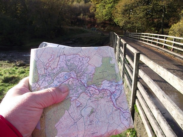
Let's get one thing straight: maps aren't books. You can absolutely turn them sideways, upside down or diagonally and continue to use them. In fact, rotating the map is an essential part of navigating, and totally normal. It's also easier for your brain because you're not having to mentally rotate what you're looking at. The aim is to get the map to match the world around you. If you're using a phone, turn off the 'auto rotate' feature, otherwise you'll end up turning around to orientate the map and facing away from the direction you're about to travel.
If you're good at visualising things, imagine connecting lines from the map to the corresponding feature in real life; if the map is orientated correctly with your location in the middle, none of the lines would cross over, they would just spread outwards like a star. If visualisation isn't you're forte, ask yourself if everything on the map is in the same order as everything in real life.
Top tip 3: use features that are nearby, like walls, paths or streams, and some further away (if you can see into the distance), like hill tops and ridges
If you're new to navigating, do this in a place you know well first. You'll know what's around you and have the language to describe it, so it will help you learn what those features look like on the map and learn the lingo for various features.
Know where you are
Nobody likes getting lost. It's unsettling, can take up an inordinate amount of time and is occasionally dangerous.
The skill of locating your position brings together the information you gathered by observing the world around you and the information from the map, to identify your exact location on the map. It's possible to be very accurate with this, it's also possible to sweep a finger across a large area of map exclaiming, "We're definitely somewhere here." The latter is an OK place to start, but as you travel towards autonomy, you'll be able to pinpoint your exact location on a path junction or kink in a contour line.
Top tip 4: before even beginning your journey, locate the starting point on the map
It's much easier to follow your own journey from a known starting point on the map than to get the map out for the first time once you're lost in the fog and try to work out where you are. Likewise with digital mapping, if your phone has already loaded the required section of map because you've been looking at it at home, when you press the icon to locate your position, it can help speed up the process.
It's not as hard as you might think
Hopefully all of the above has been a useful introduction to the benefits of learning to navigate and some of the techniques involved. Every qualified leader or instructor has at some point taught someone to navigate who thought they'd never be able to do it. Years of social conditioning and negative reinforcement can be highly demotivating. But the great news is, anyone and everyone can learn to navigate. Whether you have the desire to become fully autonomous is completely up to you, but possessing some ability to navigate can be immensely beneficial.
Sources of support or training include:
Hill Walking and Navigation in the Mountains – two books published by Mountain Training, both containing useful illustrations and explanations to help you get to grips with navigating in the hills.
A Hill Skills or Mountain Skills course delivered by an approved Mountain Training provider – these courses are about supporting you towards independence and include navigation as well as how to plan a day, what to pack and what to do in an emergency. Find a skills course
Want to learn more about navigation? Check out these articles:
