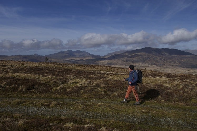
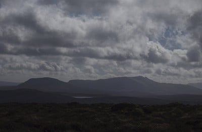
This walk has some stunning views both to the north towards Moel Siabod and the Snowdon Horseshoe and the South towards the Arenigs. The walking is generally easygoing, however there is a short section around the head of the cwm where it is rather boggy under foot. This is outweighed by the remote feel and amazing outlook, but remember to get some dubbin on yer boots!
Fetching Map
Height Profile
metres / Distance
miles
Detailed description
1
SH7373852125 From the parking near the station cross over the railway bridge and turn left. Follow this road along and slightly uphill past a row of terraced houses. Where the road goes up you can cut left along a gravel road, which joins the road you left after 100m or so, close to where the road leaves the village by a last house on the right. Just past this there is a track on the right that starts to zig-zag up the hillside, steeply at first, before it straightens out and flattens off as the path heads along the side of the forested area close to a stream. After 1km or so you reach a crossroads in the track.
2
SH7461651607 Head straight across the junction and continue up the main 4x4 track as it heads up to the top corner of the forestry before, turning right and heading up towards the ridge that leads to the summit if Y Ro Wen. The views are amazing from this ridge and you quickly reach the summit cairn at the end of the track, just short of the true summit. 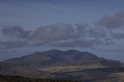
© Mark Reeves, Dec 2013
3
SH7457449856 The next section gets boggy. Head over the summit and then follow the fence to the 540m ring contour before heading across the broad ridge towards Bryn Hafod-Fraith. Whether or not it is easier to follow close to the forestry boundary or drier near the broad open ridge, the fact remains your feet will get wet at some point been here and the summit of Foel-Fras. This is a small summit found after you have traversed around the head of Cwm Penamnen. 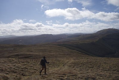
© Mark Reeves, Dec 2013
4
SH7278948183 Whilst essentially you want to just follow the edge of the cwm, you will stay drier and the ground is easier underfoot if you head out along the small ridge to Moel Penamnen before continuing along the ridge back to reach the edge of the cwm and the forestry boundary again before descending to the col before Pen Y Benar.
5
SH7305349937 Turn left and head down the footpath towards Berthos for about 1km. The path eventually turns into more of a 4x4 track and makes a sharp right before shortly then making a 90 degree left to head down into a field. Just before the field a small path leads off right across the hillside.
6
SH7210350964 Follow this small path as it traverses slowly down and across the hillside above a drystone wall before it enters a more wooded area to join another bigger path/track that comes in from the left. This soon becomes less obvious as it traverses below spur that you have just descended. Continue just above the railway line until you eventually come out on a road a few hundred metres from Dolwyddelan station where you started.
This has been viewed 3,479 times
Download
OS maps and some other mapping apps don't allow waypointsStatistics
Distance: 9.51 miles (15.30 km)Total ascent: 610m
Time: 4 – 6 hours (Walking)
Voting:
from 1 votes
Login as Existing User
to rate this walk.
to rate this walk.
Additional Information
Start/Finish:Dolwyddelan, SH736521
Nearest town:
Blaenau Ffestiniog and Betws Y Coed
Terrain:
Generally easy going walking but with a central section that is quite boggy.
Seasonal variations:
Minimal variation due to the altitude of the walk.
Weather and Hill Conditions: mwis: Snowdonia – Met Office: Snowdonia
Public transport:
Bus and train services to Dolwyddelan exist but are not that frequent.
Maps:
OS Explorer OL17 (1:25,000), OS Explorer OL18 (1:25,000), Harvey/BMC Snowdonia (1:40,000), OS Landranger 115 (1:50,000) Directory Listings:
Find more Listings near this route Tourist info:
Blaenau Ffestiniog (01766 830 360); Betws-y-Coed (01690 710426); Beddgelert (01766 890615)
Further Routes
by Mark Reeves
- Snowdon via the Llanberis Path, and down the Snowdon Ranger 9 Oct, 2020
- A Round of the Northern Carneddau 3000ers 11 Jun, 2020
- Maesglase, a Mid Wales Gem 24 Apr, 2020
- Moel Hebog to Moel Lefn 5 Mar, 2020
- Cwm Cneifion in Winter - Hidden Gully and Y Gribin 20 Feb, 2020
- Dartmoor - The North Moor from Princetown 12 Feb, 2020
- Snowdon Via the South Ridge and the Watkin Path 21 Dec, 2019
- Glyder Fach and Glyder Fawr from the Pen Y Gwryd 27 Nov, 2019
- The New Forest: Abbot's Well - Fritham Circuit 26 Aug, 2019
- The Atlantic Ridge of Carnedd Y Filiast 7 Aug, 2019
