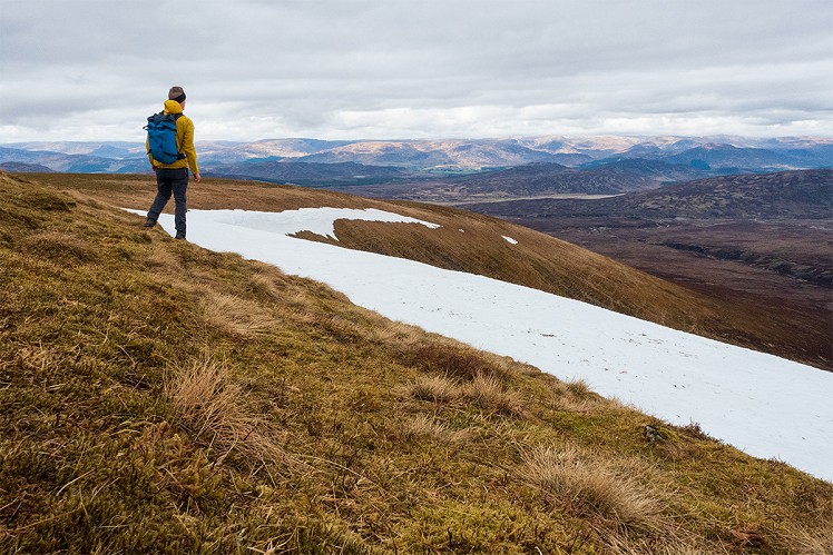
Are these the least exciting of the Munros? Well other than the sheer convenience of an accessible high-altitude car park, it doesn't get off to an auspicious beginning. Grouse-wrecked, loud with A9 traffic, and further brutalised by the Beauly-Denny pylons, Drumochter is more grimly functional than most hillwalking start points. But you're soon above it all, and as the noise fades the sense of spaciousness opens up. On top it's easy striding to the piping soundtrack of moorland birds, and while the immediate surroundings of peat bog could have been lifted from a less eventful part of the Pennines, the wider views are great - particularly from Carn na Caim. Not just for committed baggers, these unassuming tops turn out to be worth a half day of anyone's time.
Detailed description
This has been viewed 965 times
Download
OS maps and some other mapping apps don't allow waypointsStatistics
Difficulty: ModerateDistance: 11.68 miles (18.80 km)
Total ascent: 810m
Time: 4:30 – 5:30 hours (Walking)
to rate this walk.
Additional Information
Start/Finish:Layby 87 northbound on the A9, NN638820
Nearest town:
Newtonmore
Terrain:
Stony vehicle track from roadide to 900m. From here the tracks and paths connecting the hills are easy to follow, if soggy in parts.
Seasonal variations:
No particular winter difficulties. With decent snow cover these hills are said to provide a good day out on ski.
Weather and Hill Conditions: mwis: Cairngorms & Monadhliath – Met Office: East Highlands
Public transport:
Easy - bus or train to Dalwhinnie
Guidebooks:
The Munros (SMC)
Maps:
OS Explorer 393 (1:25,000), OS Explorer 394 (1:25,000), OS Landranger 42 (1:50,000) Directory Listings:
Find more Listings near this route Tourist info:
Kingussie (0845 22 55 121)
Further Routes
by Dan Bailey UKH
- Beinn Dorain and Beinn an Dothaidh 5 Feb
- East Ridge of Beinn a' Chaorainn and Beinn Teallach 21 Jan
- A' Chralaig and Mullach Fraoch-choire 4 Dec, 2023
- Meall na Teanga & Sron a' Choire Ghairbh - The Loch Lochy Munros 6 Nov, 2023
- Bynack More 19 Oct, 2023


"The sheer amount of backtracking does not make this the most satisfactory route, but at least you'll know the way by now."
It is possible do a more circular route by following a track beside the pylons to the back of Drumochter Lodge and then up the ridge between Coire Chuirn and Coire Chaorainn. A more direct return westward from Carn na Caim is also possible: the lower slopes are a bit rough and heathery but nothing terrible.
Even better (IMO), if you can sort the transport arrangements (2 cars, or a dropped off bike), is to do a traverse from Dalnaspidal. The Glas Mhealls ridge is really pleasant walking.
They are also very straightforward from the Gaick pass, I cycled in to somewhere near Sronphadraig Lodge and (as far as I remember) went up beside the wee burn S of Am Meadar, giving a high moorland walk over to A Bhuidhoneach Beag. Varied it coming back to the bike by coming off Carn na Caim into Cama Choire…quite exciting, but not sure that I’d recommend it!
Never saw a soul all day, I had been putting off the ascent from Balsporran as a Munro bagging chore whereas I ended up with a nice day’s exploration.