


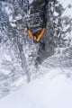
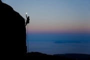

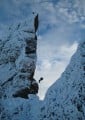


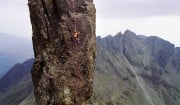


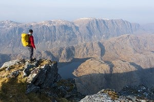
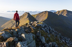
The Big Routes Suilven
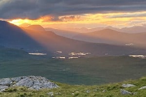
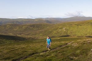
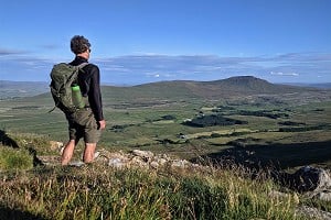
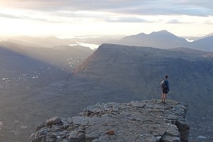
The iconic peak of Scotland's far north, Suilven offers a thrilling ridge traverse in inspiringly wild surroundings. It's a route of fairly high mileage, says Dan Bailey, and some of the best fun to be had on any hill; but for maximum impact, b...


Comments
I walked the Trotternish Ridge from north to south back in 1987 as 2 days worth of my Silver Duke of Edinburgh's Award expedition (we continued down to Slighachan on day 3). I remember 2 days of blue skies and cloud inversions all the way across to Torridon, and seeing no one else. Quite magical.
The Trotternish ridge is one of the best walks in Britain in my opinion. We walked it north to south in March 2017, we had glorious sunshine but really strong winds which scuppered the planned high camp. I fancy doing it all again sometime.