


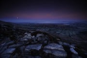
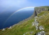
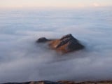

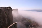


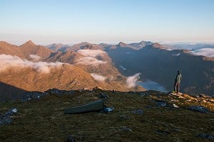
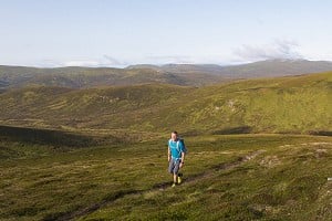
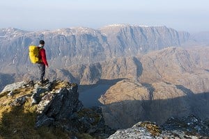
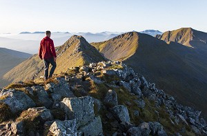
The Big Routes Suilven
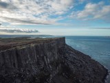
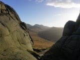
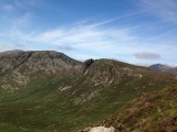
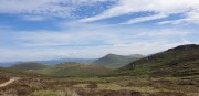
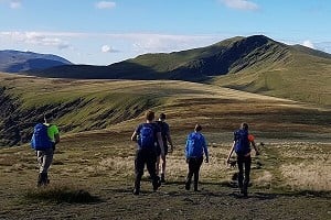
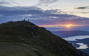
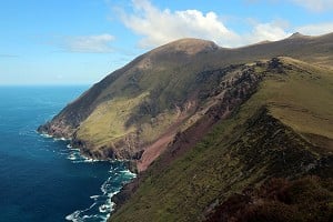
The iconic peak of Scotland's far north, Suilven offers a thrilling ridge traverse in inspiringly wild surroundings. It's a route of fairly high mileage, says Dan Bailey, and some of the best fun to be had on any hill; but for maximum impact, b...


Comments