


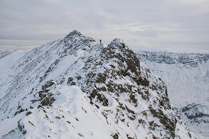
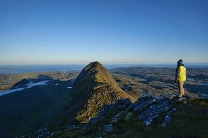
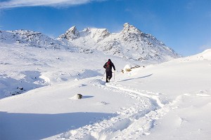
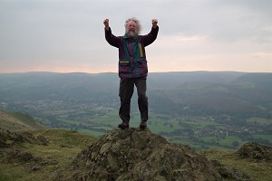
Bagging The Fours – The 400m Hills of England
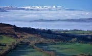
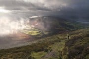
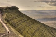
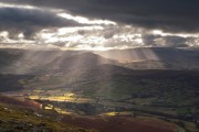
With peaks such as Catbells, Dufton Pike and Chrome Hill among them, The Fours, the list of England's 400-500m hills, is big on quality if not altitude. The list has recently undergone a major revision. Aled Williams and Myrddyn Phillips explai...


Comments