

Hill surveyors Aled Williams and Myrddyn Phillips, who co-author Welsh summit list Y Pedwarau, have come up with a new category for hills that straddle a national border. Here they explain their logic.
Can you define your new concept, a National Top?
National Tops affect hills that straddle national boundaries; in the case of the hills we've been looking at, the boundary is between Wales and England. Such hills can be rightfully claimed by either country as their land area is a part of the same hill: if this affects hills, why not also their summits?
The concept covers summits that are a part of the overall hill, where that hill has a higher summit in the opposing country.

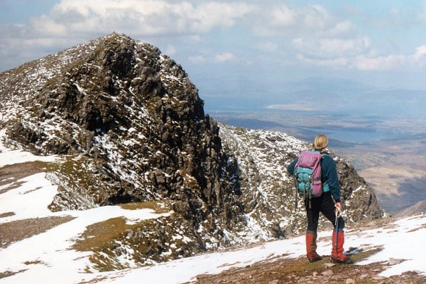
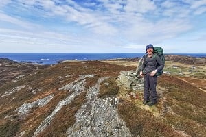
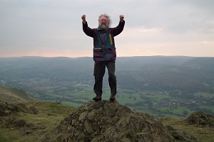
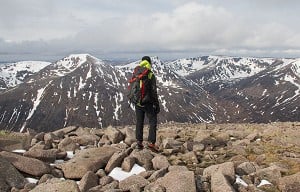
© Myrddyn Phillips
What led you to this idea?
It's simple really, as boundaries such as national borders are man-made, whereas hills are natural. So why restrict a hill from being listed just because its higher summit is in say England and the list is to Welsh hills? The hill is a part of both countries and for our listings the Welsh part of the hill will have a high point, and if it meets the criteria given at the end of this article then it makes sense to include it in the list.
How many hills does this affect?
In the lists we co-author, just two:
Hergest Ridge, which has a 401.0m summit positioned at SO 24693 55769 and has 131.7m of drop. This summit connects via its col with the higher Hergest Ridge(SO 25435 56259) via the national border between Wales and England. The Welsh summit is now listed as a Pedwar.
Stonewall Hill which has a 400.1m summit positioned at SO 31823 69655 and has 23.8m of drop. This summit connects via its col with the higher The Warren (SO 31855 68590) via the national border between Wales and England. The Welsh summit is now listed as a 400m Sub-Pedwar.
In essence Hergest Ridge has a Welsh summit and an English summit; both are a part of the same hill. This is also applicable to Stonewall Hill. Therefore, for each National Top the drop is taken to the connecting col for the overall hill.
Does this also count for hills outside of Wales?
The concept of National Tops can be applied to any country in the UK, although to our knowledge no one has thought about it before.
Saying that, John Kirk who compiled some of the most interesting hill lists a few years ago, came up with the concept of Dual National Hills. What we are doing is expanding upon that concept and concentrating on specific land adjoined to the respective country. This land usually consists of a summit, but it can consist of continually rising ground to the higher summit which is positioned in the opposing country.
Aled did a lot of work on the concept of National Tops and scrutinized the whole of the Welsh – English border, resulting in other hills that meet Welsh National Top status. However, these hills do not appear in lists that we co-author.
There will probably be summits on the English side of the border that are also National Tops, as indeed there would be for the Scottish – English border. Applying our rules to the Cheviot, for instance, would see Scotland gaining the 740m-odd hill near the Hanging Stone as a new 700m hill since the col is in Scotland - i.e. within the country, you can walk from the col to the qualifying height threshold without entering the other country.
It would take a lot of work to list all other UK-wide hills affected by this concept, with many map hours of study. We had two full surveying days just concentrating on Hergest Ridge and Stonewall Hill, with six data sets taken from the latter!

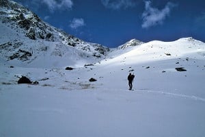
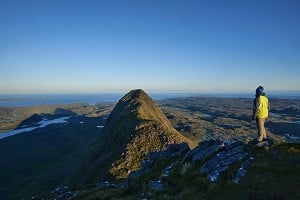
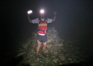
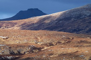
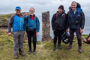
© Natalie Berry
What about further afield, do you know of similar examples in mainland Europe?
A similar concept, albeit in a less numerically defined form, already exists in mainland Europe, with Rysy being an example. This hill straddles the Polish – Slovak border with the main, higher summit in Slovakia and a slightly lower summit in Poland, with this lower summit also the highest point in Poland. Finland and the Netherlands also have high points that are positioned on rising ground to a higher summit which is in another country - neither are actually summits!
Dealing with national boundaries can provoke strong feeling. Are there examples that you know of in mainland Europe where a hill and its border is disputed?
In answer to this question one could give the highest hill in Western Europe as an example; Mont Blanc to the French and Monte Bianco to the Italians. There are Italian maps showing the course of the border as the watershed with the summit of the highest mountain in Western Europe shared between Italy and France. However, there are French maps that show the course of the border taking a circuitous route consequently putting the summit dome wholly in France.
Do you have rules defining what a National Top is?
Yes, these are:
- Hill lists that include National Tops use a national boundary as their defining land area.
- The highest point and connecting col of the hill are positioned within the country defining the list.
- The highest point meets the minimum height used within the list.
- A National Top connects to a higher adjacent summit via the national boundary.
- The concept of National Tops is that many lower and their adjacent higher summits are a part of the same overall hill. Therefore, for each National Top the drop is taken to the connecting col for the overall hill.


Comments