


Bagging Doing the Dochartys - The Hill List You've Probably Never Heard Of
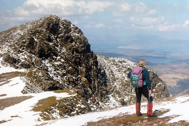
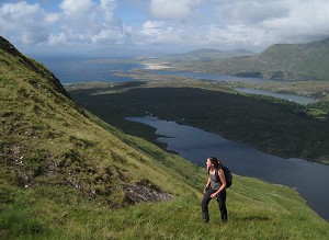
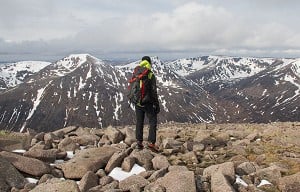
After an early completion of the Munros in 1948 Willie Docharty was at a loss for a list, so he made one of his own. Eventually numbering 1953 summits across the British Isles, it's a huge challenge, and one that few will ever complete. Iain Th...


Comments
Nice article Paul, thanks for that!
Paul's a great guy, really knows his stuff for Spanish hiking destinations. I've hiked with him as a guide - check out his website, ajspain.com
Thanks Dan, my pleasure!
Thank you!