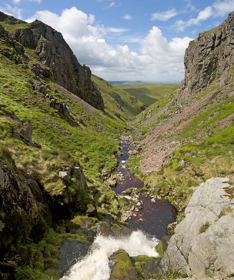
The Cheviot can seem a dull hump. But not so fast. Head up it out of Scotland, and you get the benefit of the long border ridge running up from the Halter Burn near Kirk Yetholm. Then descend into the craggy emptiness of the Hen Hole, a place once used to hide herds of stolen cattle. The fairies here can bewitch you with strange music so that you never find your way out again... perhaps a pair of earplugs could help at this point. You follow the springs of College Burn through the exit gap below scrappy granite crags and above some waterfalls. This 50km-plus route could be broken with an overnight at the Mounthooly Bunkhouse, before the gentle return leg along the College valley and then west again along a section of St Cuthbert's Way.
Detailed description
This has been viewed 1,076 times
Download
OS maps and some other mapping apps don't allow waypointsStatistics
Difficulty: SevereDistance: 20.26 miles (32.60 km)
Total ascent: 1,184m
Time: 10 – 12 hours (Walking)
to rate this walk.
Additional Information
Start/Finish:Halterburn, 1.5km east of Kirk Yetholm, NT839277
Nearest town:
Town Yetholm
Terrain:
Grassy paths and valley tracks. Swampy plateau of the Cheviot, steep grass descent into Hen Hole, rough ground exiting from Hen Hole.
Seasonal variations:
Descent into Hen Hole could be difficult or even avalanche prone after snowfall.
Weather and Hill Conditions: mwis: Southern Uplands
Public transport:
Kirk Yetholm can be reached by bus from Berwick on Tweed changing at Kelso.
Guidebooks:
Walking in the Southern Uplands by Ronald Turnbull (Cicerone) https://www.cicerone.co.uk/walking-in-the-southern-uplands
Maps:
OS Explorer OL16 (1:25,000), OS Landranger 80 (1:50,000), OS Landranger 74 (1:50,000), OS Landranger 75 (1:50,000) Directory Listings:
Find more Listings near this route Tourist info:
Coldstream (01835 863 170); Kelso (01573 22 8055); Wooler (01668 282123)
Further Routes
by Ronald Turnbull
- Windy Gyle from Coquetdale 17 Jan, 2023
- Minnigaffs from Loch Trool 10 Nov, 2022
- Loch Enoch, Galloway Hills 30 Aug, 2022


I think you may have got your units mixed up - that route is around 32km, not 32 miles!
Thanks Mark, I thought it looked big but didn't manually measure it. There's something fishy with our routes admin system and units
There are miles, country miles and Cheviot miles...
Yes, I always get that glitch with my routes, Dan, and have to manually convert.