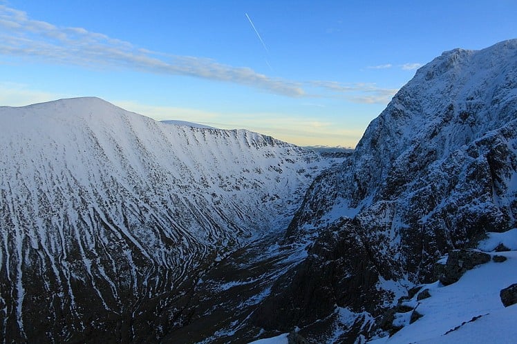
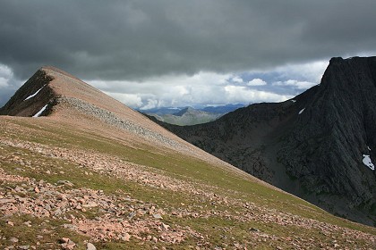
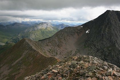
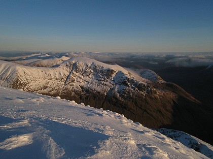
A contender for the title of grandest ridge walk in the country, the Carn Mor Dearg (CMD) Arete straddles the fine line between rambling and scrambling. This graceful curving ridge connects two four-thousand-footers, its blocky crest offering airy positions and stunning views of the cliffs of Ben Nevis, but minimal hands-on stuff. It is unquestionably the most enjoyable non-climber’s route on Ben Nevis, leagues ahead of the crowded and frankly dull trudge up the Tourist Track. The route described here is based on the busy access point of Glen Nevis: an alternative would be to start at the North Face car park in Torlundy.

Detailed description
This has been viewed 76,344 times
Download
OS maps and some other mapping apps don't allow waypointsStatistics
Difficulty: DifficultDistance: 11.68 miles (18.80 km)
Total ascent: 1,935m
Time: 8 – 9 hours (Walking)
to rate this walk.
Additional Information
Start/Finish:Glen Nevis visitor centre car park, NN122731
Nearest town:
Fort William
Terrain:
Starting with the well made (and busy) Tourist Track, then a rougher path into the Allt a'Mhuillinn followed by some pathless ground. Crossing the Allt a' Mhuilinn needs care if water is high. It's a steep ascent to Carn Dearg Meadhonach. The famous CMD Arete itself is an airy and slightly scrambly ridge – not quite scrambling grade 1. Bouldery slopes then lead to the summit of Ben Nevis, and a long descent back on the Tourist Track.
Public transport:
Bus or rail to Fort William, from where a local bus runs up Glen Nevis
Guidebooks:
West Highland Way, Dan Bailey, pb. Pocket Mountains http://www.pocketmountains.com/product/west-highland-way Scotland's Mountain Ridges, Dan Bailey, pb. Cicerone http://www.cicerone.co.uk/product/detail.cfm/book/469/title/scotland-s-mountain-ridges The Munros, pb. SMC http://www.smc.org.uk
Seasonal variations:
In winter conditions the CMD Arete is a grade I climb. Though fairly straightforward it is long and exposed, and deep snow or high wind are likely to make it challenging. In winter the summit plateau of Ben Nevis is potentially a serious place, and safe descent may require care (see stage 5)
Weather and Hill Conditions: mwis: Northwest Highlands – Met Office: West Highlands
Maps:
OS Explorer 392 (1:25,000), OS Explorer 399 (1:25,000), Harvey/BMC Ben Nevis (1:40,000), OS Landranger 41 (1:50,000)
Accommodation:
Ben Nevis Inn bunkhouse tel 01397 701227; Glen Nevis Youth Hostel tel 0870 004 1120
Find more Listings near this route
Tourist info:
Fort William (0845 22 55 121); Spean Bridge (0845 22 55 121); Ballachulish (08452 255 121)
Further Routes
by Dan Bailey UKH
- East Ridge of Beinn a' Chaorainn and Beinn Teallach 21 Jan
- A' Chralaig and Mullach Fraoch-choire 4 Dec, 2023
- Meall na Teanga & Sron a' Choire Ghairbh - The Loch Lochy Munros 6 Nov, 2023
- Bynack More 19 Oct, 2023
- Beinn a' Mhuinidh 4 Oct, 2023


