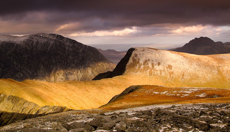
Hideously scarred and cruelly exploited it may well be, but Elidir Fawr is often the choice of the connoisseur when a quick 3000er is the order of the day. The Round of Marchlyn Mawr visits Elidir Fawr before encircling the eponymous llyn by way of two unsung peaks on the Glyderau’s unfashionable northern extremity. A short day with huge views, this walk gives a subtle twist to an old favourite.
Fetching Map
Height Profile
metres / Distance
miles
Detailed description
1
SH5968063088 As incongruous in its desolate moorland setting as the hydro electric access road is, it provides a gentle approach to the delights to come and terminates at the similarly unwelcome construction which dams Marchlyn Mawr. On the way, climbers with a keen eye may spot a delectable looking slab above Marchlyn Bach which could prove an irresistible diversion and an alternative line of ascent taking in Elidir Fach. Walkers, however, must now gird their loins and prepare for some hard work!
2
SH6132762160 Elidir’s blunt North Ridge hugs Cwm Marchlyn and is steep and at times loose going on a vague path. Happily, the slog is short lived and through scrambly ground the summit ridge is attained a stone’s throw away from the commodious shelter. Time to take on some refreshment and drink in extensive coastal and mountain views.
3
SH6123561306 Once you’ve tired of the superb vista, head down the East Ridge to Bwlch y Brecan where a brief but lung busting ascent will land you on Mynydd Perfedd’s broad grassy plateau.
4
SH6230961865 Easy striding and the crossing of a stile is all that separates you from the final peak of the day, Cairn of the greyhound bitch, aka Carnedd y Filiast. It’s worth keeping to the rim of Cwm Graianog on this section for a good view of the spectacular Atlantic Slab.
5
SH6204662718 From the rocky summit of Carnedd y Filiast, head north west across a boulder field to the unnamed bwlch and follow a path (which can be tricky to see from above) or pick your way back down to the access road and in due course to the start point.
This has been viewed 15,012 times
Download
OS maps and some other mapping apps don't allow waypointsStatistics
Difficulty: ModerateDistance: 5.68 miles (9.14 km)
Total ascent: 696m
Steepest Gradient: 47% (1 in 2)
Time: 4 – 5 hours (Walking)
Voting:
from 4 votes
Login as Existing User
to rate this walk.
to rate this walk.
Additional Information
Start/Finish:The hydro electric access road where there is roadside parking, SH596631
Nearest town:
Llanberis
Terrain:
Tarmac road, pathless terrain, rocky and grassy ridges.
Seasonal variations:
Technically easy but axe and crampons essential in winter conditions.
Weather and Hill Conditions: mwis: Snowdonia – Met Office: Snowdonia
Guidebooks:
The Welsh Peaks by W.A.Poucher - Constable
Maps:
OS Explorer 263 (1:25,000), OS Explorer OL17 (1:25,000), Harvey/BMC Snowdonia (1:40,000), OS Landranger 115 (1:50,000), OS Landranger 114 (1:50,000) Directory Listings:
Find more Listings near this route Tourist info:
Llanberis (01286 870 765); Bangor (01248 352786); Llanfairpwllgwyngyll (01248 713177)
Further Routes
by Nicholas Livesey
- Alport Castles - the Pride of Peakland 22 Feb, 2013
- Snowdon's Quiet Side - Cwm Clogwyn Round 19 Jan, 2012
- The Fairfield Horseshoe 18 Nov, 2011
- Blencathra's classic ridges: Sharp Edge & Halls Fell 17 Nov, 2011
- The Coledale Round 17 Nov, 2011
- The round of Gasgale Gill 1 Nov, 2011
- The Southern Carneddau 21 Oct, 2011
- The Langdale Pikes via Jack's Rake 19 Oct, 2011
- Moel Siabod - Snowdonia's best half day? 16 Oct, 2011
- Cnicht - The Welsh Matterhorn 10 Oct, 2011


