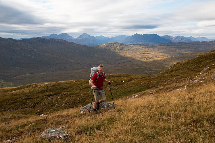
A long knobbly ridge, if not a particularly dramatic one, Beinn Dronaig's chief distinction lies in its remote location. Tucked away in the wild Attadale Forest, the northern corner of the vast roadless reaches between Glen Shiel and Glen Carron, Dronaig is far from any access point, and takes a bit of getting to. Most will probably come by bike from Attadale - a good track, if not the most inspiring. More in keeping with the back-of-beyond feel is the (less bike-friendly) stalker's path through lonely miles from Achintee. Once the walk or bike-in are done it's possible to beeline to and from the summit, but a full west-east traverse of the hill has more going for it, with some fabulous views of the neighbouring Monar and Mullardoch Munros, and the mind-cleansing expanses of nothingness in between.
Detailed description
This has been viewed 1,306 times
Download
OS maps and some other mapping apps don't allow waypointsStatistics
Difficulty: SevereDistance: 18.83 miles (30.30 km)
Total ascent: 781m
Time: 9 – 11 hours (Walking)
to rate this walk.
Additional Information
Start/Finish:Achintee - some limited parking beside the small electricity substation at the far end of the wiggly road (not the farmyard you first come to), NG942416
Nearest town:
Lochcarron
Terrain:
Decent stalker's path to start, then a short stretch on gravel vehicle track. The hill is rough and basically pathless.
Seasonal variations:
A big route for short winter days, but the bothy at Bendronaig Lodge would be a perfect base for an overnighter (bring fuel for the stoves - plural)
Weather and Hill Conditions: mwis: Northwest Highlands – Met Office: West Highlands
Public transport:
Train to Strathcarron
Maps:
OS Explorer 429 (1:25,000), OS Landranger 25 (1:50,000) Directory Listings:
Find more Listings near this route Tourist info:
Lochcarron (01520 722357); Kyle of Lochalsh (0845 22 55 121)
Further Routes
by Dan Bailey UKH
- East Ridge of Beinn a' Chaorainn and Beinn Teallach 21 Jan
- A' Chralaig and Mullach Fraoch-choire 4 Dec, 2023
- Meall na Teanga & Sron a' Choire Ghairbh - The Loch Lochy Munros 6 Nov, 2023
- Bynack More 19 Oct, 2023
- Beinn a' Mhuinidh 4 Oct, 2023


I've often looked out to Beinn Dronaig from Lochcarron and pondered a quick evening sortie before a study of the map has brought me back down to 🌎 .
Found myself up there having forgotten a compass. Navigated off using an AM radio. Direction of strongest reception. Worked a treat but learned to check the pack next time. Precipitation caused some river crossing issues.
All in the days before all the road building there.
Ingenious navigation technique, FB2. Bit of "Use the Force, Luke" in this tale.
For those who knew the area before the track building, it’s very sad what’s happened.