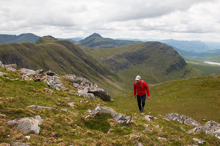
Though somewhat overshadowed by the celebrity peaks of Coulin to the north and the famously remote Monar Munros in the wilds to its south, Sgurr na Feartaig is a tremendous hill in its own right, an extended ridge with steep northern corries and impressive views of its better known neighbours. While often combined with next-door Beinn Tharsuinn in a double-Corbett day, the full traverse of the Feartaig ridge (probably minus Tharsuinn for most) seems a more logical and aesthetic route.
Fetching Map
Height Profile
metres / Distance
miles
Detailed description
1
NH0395449305 Cross the main road near a house, and the level crossing over the railway, then follow a forest track east. After about 800m this bends south, passing over a bridge.
2
NH0477749265 At a junction just beyond a workshop/barn, branch left, then left again, taking the uphill track on a long steady ascent through new growth forest. Keeping left at subsequent junctions, pass a quarry, then exit the woods onto open ground. Cross a shoulder above the wooded gorge of the Allt a' Chonais, staying with the track as it curves south into the upper glen. Branch right to a footbridge just above a new hydro scheme.
3
NH0701548128 From the far bank of the burn, an old stalker's path climbs the northeast flank of Sgurr na Feartaig, its well-constructed zigzags making easy work of the ascent. Go over a broad minor summit, then cross a grassy saddle, passing west of an idyllic high lochan. Where the trail starts to make a traverse west of the high ground, peel off left to make a beeline for the prominent summit cairn. While Sgurr na Feartaig is easily accessible, its summit is a grand viewpoint overlooking the far wilder land to its south, where the Munros Sgurr Choinnich and Bidein a' Choire Sheasgaich look particularly appealing.
4
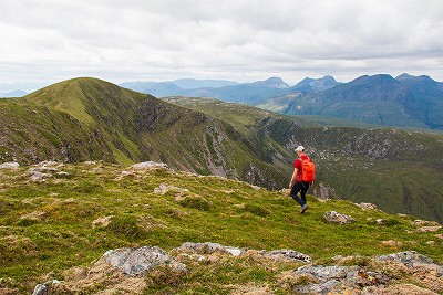
NH0546245394 Head west-southwest to rejoin the stalker's path, then follow it along the ridge, an attractive grassy crest above the crags of Coire nan Each. It's worth detouring onto a minor top on the way (the path skirts its south side) before climbing to Sgurr na Feartaig's west summit. With the knobbly skyline of the Coulin hills and hints of islands out west, this may be an even better viewpoint than the main summit.
5
NH0381844929 The path continues west to zigzag easily down to the wide grassy saddle of the Baobh-bhacan Dubha. At a trail junction go right, heading north through bands of rock outcrop to descend a steep nose, Aon Cheum. The path then zags left below the slabby wall of Creag a' Chaorainn, into Coire Leiridh. Wet and muddy underfoot, it then heads north on a long descent to the forest boundary. Now quite overgrown, the trail continues down through the woods to meet a forestry track in the bottom of the glen.
6
NH0170848218 There's no footbridge over the River Carron, so the best option is a long return east along the forest track - a good 4km to end the day, but quick and easy if you get into your stride.
This has been viewed 808 times
Download
OS maps and some other mapping apps don't allow waypointsStatistics
Difficulty: ModerateDistance: 12.68 miles (20.40 km)
Total ascent: 1,182m
Time: 6 – 7:30 hours (Walking)
Voting:
from 2 votes
Login as Existing User
to rate this walk.
to rate this walk.
Additional Information
Start/Finish:Car park hidden up a rough unsigned track north off A890 at the east end of Craig, NH039493
Nearest town:
Lochcarron
Terrain:
Forest tracks to start and finish, with a clear stalker's path all the way on the hill. Some rough and rocky ground on the ridge, and the descent tends to be wet and muddy - but nothing too onerous.
Seasonal variations:
This would be a cracking winter day, and the long forest track sections at the start and finish would be straightforward in the dark.
Weather and Hill Conditions: mwis: Northwest Highlands – Met Office: West Highlands
Public transport:
With a train stop at Achnashellach, this is a public transport-friendly hill despite the relative remoteness of Glen Carron.
Maps:
OS Explorer 429 (1:25,000), OS Landranger 25 (1:50,000) Directory Listings:
Find more Listings near this route Tourist info:
Lochcarron (01520 722357)
Further Routes
by Dan Bailey UKH


It's a great hill.
We took an alternative descent - a wider loop west via Loch nan Gobhar, Loch nan Cabar, Creag nan Eilein and then the path into Golden Valley. Creag nan Eilein sits opposite Coire Lair for a great view.https://kinleyhazel.wordpress.com/2010/04/04/sgurr-na-feartaig-extended-ridge-meanderings-april-2010/
Aye, an undervalued hill, which probably has great views, but not on any of the three times I've visited it...
We always did the route the other way around, on our annual winter week to the area, but this was basically so we could plod up a snow gully in the corrie just west of the descent. Also gets the 4km forest track plod out of the way early (= whilst still hungover in my youth) Not done it for years, might have to fix that next winter.