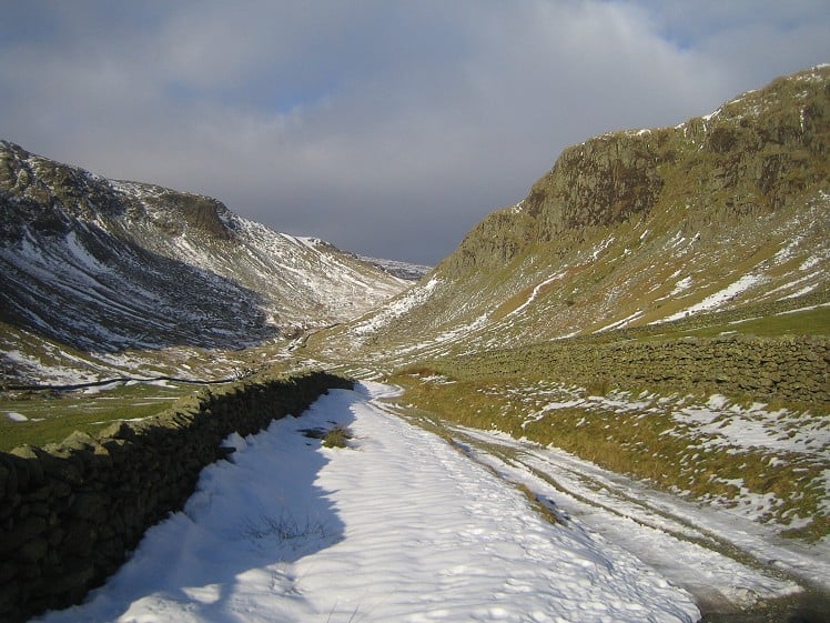
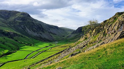
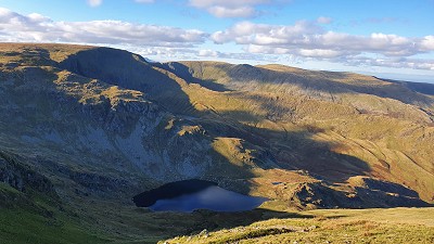
Everyone and their rescue dog does the Kentmere horseshoe, and with good reason: it's an absolute belter. This neighbouring loop shares 50% of the DNA but is considerably quieter, leading you over wild rolling hills with glimpses over the even wilder country toward Shap, but also down into the rugged basin of upper Mardale. Longsleddale itself is a gem, with impressive crags, hidden quarries, boulder-howffs, waterfalls in gorges and beautiful bluebell woods. Although it's just up from Kendal, it's visited far more rarely than its location might imply. Part of that is contained in the first syllable of the name: it is a strikingly long drive from the turn-off at Burneside to the dalehead.
Detailed description
This has been viewed 1,439 times
Download
OS maps and some other mapping apps don't allow waypointsStatistics
Difficulty: ModerateDistance: 9.76 miles (15.70 km)
Total ascent: 954m
Time: 5 – 6 hours (Walking)
to rate this walk.
Summits
Sleddale Fell 638 mTarn Crag 664 m
Branstree 713 m
Harter Fell 778 m
Kentmere Pike 730 m
Shipman Knotts 587 m
Additional Information
Start/Finish:Sadgill. There is good parking by the packhorse bridge as long as you make sure farm vehicles and mountain rescue Land Rovers can get past, NY483057
Nearest town:
Kendal
Terrain:
Wild, woolly and wheateary. Expect dampness underfoot, especially around Greycrag Tarn. Some rocky ground descending from Shipman Knotts.
Seasonal variations:
There shouldn't be anything too tricky in winter as long as you give the crags of Harter Fell and Wrengill Quarry a wide berth.
Weather and Hill Conditions: mwis: Lake District – Met Office: Lake District
Public transport:
Not really plausible, I'm afraid.
Guidebooks:
Wainwright's Far Eastern Fells
Maps:
OS Explorer OL5 (1:25,000), OS Explorer OL7 (1:25,000), Harvey/BMC Lake District (1:40,000), OS Landranger 90 (1:50,000) Directory Listings:
Find more Listings near this route Tourist info:
Windermere (015394 46499); Ambleside (015394 32582); Waterhead (015394 32729)
Further Routes
by Norman Hadley
- St Sunday Crag 30 Apr
- Bannisdale Horseshoe 6 Apr
- Sallows and Sour Howes 20 Mar
- Kinder Downfall and the Reservoir Round 14 Feb
- Buttermere Horseshoe 3 Jan
- Brock Crags and Angletarn Pikes 12 Dec, 2023
- The Kentmere Frog 27 Nov, 2023
- High Street North 15 Nov, 2023
- Sgùrr a' Chaorachain: a slice of Applecross 17 Sep, 2023
- Wolfhole Crag: A Journey to the Centre of the Earth 5 Sep, 2023


In summer this is simply not the case. Post-lockdown it's become relatively heaving and at weekends you might struggle to park at Sadgill, with the canyoneering crowd in offroaders driving/being driven some of the way up Gatesgarth with large numbers of paying customers in wetsuits. In a way it's a big shame. I cycle up both Kentmere and Longsleddale every week multiple times, of course contributing to the traffic, and there's not much difference between the two in terms of busyness (today at 11am there were eight cars at Sadgill, usually the same number as at Kentmere church midweek). Now Bannisdale, on the other hand . . .
Hi felt. Maybe I've been lucky with Longsleddale. I tend to go out on a Friday afternoon and have done OK for solitude on these fells. More generally you're right, though, that the legacy of covid has skewed visitor numbers, making quiet harder to find.
I call this the 'Sadgill Horsehoe'. My Longsleddale Horseshoe goes from Garnett Bridge - a much longer and rougher outing from Ulgraves over Brunt Knott and the very rough ground to Skeggles water, and finishing over Ancrum Brow, Capplebarrow and Whiteside Pike. Best done when the tussocks are not at their height. Most times I start and finish the 'Sadgill' Horseshoe at Stockdale - slightly less far to travel up Longsleddale and a nice approach to the Grey Crag Ridge, and a pleasant final descent too.
Hahaha :) Oh the irony!
That longer loop sounds like a fine outing, FMA.