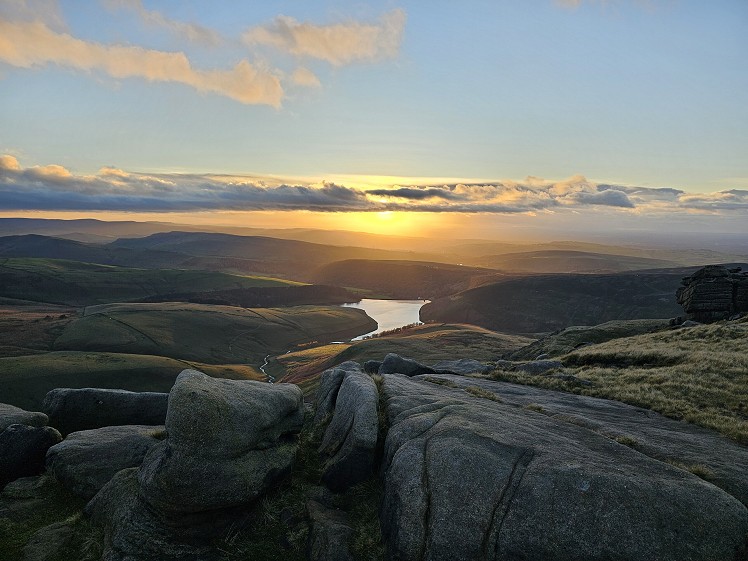
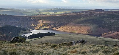
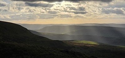
The western edge of the Kinder plateau makes for a fine circuit of the skyline overlooking the eponymous reservoir, with excellent views over Lantern Pike to the Cheshire plain, with the Welsh hills forming a backdrop on clear days. For admirers of cityscapes, there are also the soaring tower blocks of Manchester. You’re also treading hallowed ground in the history of the right to roam, as this was the scene of the famous Kinder Trespass in 1932. Although Kinder Scout is the highest “point” in the Peak District, the summit is left as an optional detour as it is scenically vastly inferior to the escarpment. The other superlative here is the Downfall, which has the honour of the highest waterfall in the Peak. Sitting in a west-facing, funnel-shaped ravine, it’s famous for blowing upwards as often as down.
Detailed description
This has been viewed 947 times
Download
OS maps and some other mapping apps don't allow waypointsStatistics
Difficulty: ModerateDistance: 6.50 miles (10.46 km)
Total ascent: 527m
Time: 2 hours (Trail running);
3 hours (Walking)
to rate this walk.
Additional Information
Start/Finish:Hayfield, SK048869
Nearest town:
Stockport
Terrain:
The heart of the route is gritstone outcrops on heather moor. The paths around the reservoir have been known to be squelchy.
Public transport:
Bus 358 will get you to Hayfield from Stockport, but you'll need to walk another kilometre to get to the start indicated, as well as another kilometre of road at the end.
Weather and Hill Conditions:
mwis: Peak District & Yorkshire Dales – Met Office: Peak District Maps:
OS Explorer OL1 (1:25,000), Harvey/BMC Dark Peak (1:40,000), OS Landranger 110 (1:50,000) Directory Listings:
Find more Listings near this route Tourist info:
Glossop (01457 855 920); Buxton (01298 25106); Stockport (0161 474 4444)
Further Routes
by Norman Hadley
- Bannisdale Horseshoe 6 Apr
- Sallows and Sour Howes 20 Mar
- Buttermere Horseshoe 3 Jan
- Brock Crags and Angletarn Pikes 12 Dec, 2023
- The Kentmere Frog 27 Nov, 2023


