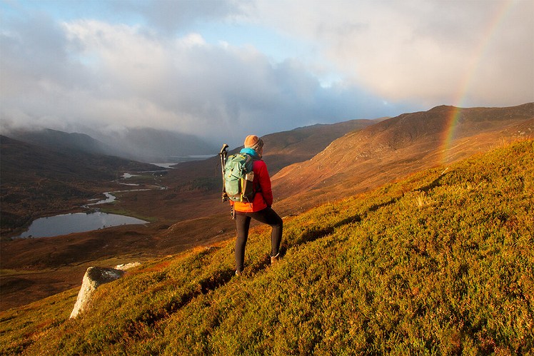
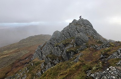
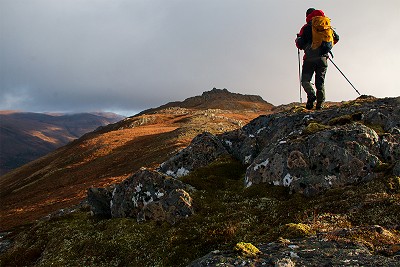
Rising between the beautiful wooded glens of Strathfarrar and Cannich, Sgor na Diollaid is a characterful hill, with an interestingly craggy summit and views from the Mullardoch/Affric interior to the Beauly Firth. From the Cannich side, with no road access issues, this popular half day is very worthwhile for anyone, not just Corbett-tickers.
Fetching Map
Height Profile
metres / Distance
miles
Detailed description
1
NH2834233484 Heading north-northwest on a narrow walker's path, cross the far track and climb quite steeply onto the shoulder of Carn Doire Leithe. Beyond a level section the path climbs a heathery slope to reach a prominent minor top (496m).
2
NH2787234505 Here begin to bear more north-northeast, making a steady ascent towards a second minor top (652m). Pass around or go over this, to reach a boggy depression. Continuing in much the same line, carry on uphill on rough ground onto the mountain's knobbly southern tops. Weaving through interesting slabby terrain, head north over a saddle for the final climb to the mini ridge linking the craggy twin summits. The slightly higher eastern summit involves a short scramble, while the western top is easier but still airy - best to visit both.
3
NH2818336263 Retrace your steps to the saddle, then bear right to skirt the high ground, before following the broad, rock-studded ridge west. Beyond a col it's a short climb onto the hill's west top, a nice viewpoint overlooking Glen Strathfarrar.
4
NH2733135856 Descending south-southeast, pick up a grassy ATV track. This soon begins to trend right towards the Allt Charaidh, and while that makes a nice descent it's not the most direct way home. If you want to save a bit of leg work, leave the track and hold much the same bearing down the grassy hillside, passing west of the minor summit of stage 2 to eventually rejoin the ascent path on Carn Doire Leithe.
This has been viewed 861 times
Download
OS maps and some other mapping apps don't allow waypointsStatistics
Difficulty: ModerateDistance: 4.21 miles (6.78 km)
Total ascent: 657m
Time: 3:30 – 4 hours (Walking)
Voting:
from 1 votes
Login as Existing User
to rate this walk.
to rate this walk.
Additional Information
Start/Finish:Roadside parking near Muchrachd; options either side of the road bridge over the River Cannich, NH283335
Nearest town:
Beauly
Terrain:
An obvious walker's path to start, with the trail tending to fade higher up the hill. Quite boggy in places, and there's some very brief easy scrambling to get to the very highest point. In poor visibility the knobbly summit area may be a bit confusing.
Seasonal variations:
A good easy option for wild weather or short winter days
Weather and Hill Conditions: mwis: Northwest Highlands – Met Office: West Highlands
Public transport:
Bus to Cannich, but it's a long road walk from here to the start of the route
Guidebooks:
The Corbetts (SMC)
Maps:
OS Explorer 415 (1:25,000), OS Explorer 430 (1:25,000), OS Landranger 25 (1:50,000) Directory Listings:
Find more Listings near this route Tourist info:
Drumnadrochit (0845 22 55 121)
Further Routes
by Dan Bailey UKH
- East Ridge of Beinn a' Chaorainn and Beinn Teallach 21 Jan
- A' Chralaig and Mullach Fraoch-choire 4 Dec, 2023
- Meall na Teanga & Sron a' Choire Ghairbh - The Loch Lochy Munros 6 Nov, 2023
- Bynack More 19 Oct, 2023
- Beinn a' Mhuinidh 4 Oct, 2023


