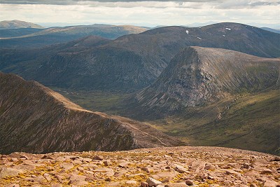
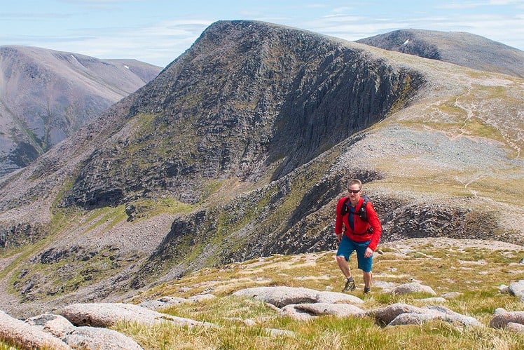
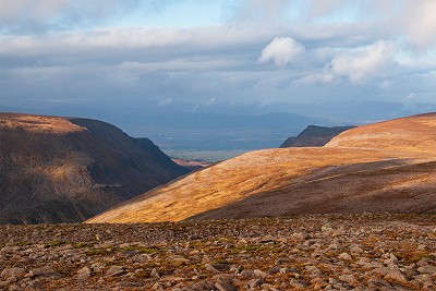
Feet may be an anachronistic measure, but 4000 of them is still a figure with a nice ring. Five of Scotland's nine 4000-footers are found in the Cairngorms, and while they are conveniently split into two neat areas by the trench of the Lairig Ghru, a round of the lot is one of the greatest hillwalking challenges in the country. Comprising the second, third, fourth, fifth and sixth highest mountains in Scotland, and huge areas of plateau above 1100m (using more sensible Metric money), this is country on a grand scale - and at over 35 newfangled kilometres, it's a walk to match. While frequently backpacked over two days, the 4000ers are achievable in a day for fit and determined walkers (and of course runners). Summer daylight helps.
See our article on this route
Detailed description

This has been viewed 4,751 times
Download
OS maps and some other mapping apps don't allow waypointsStatistics
Difficulty: SevereDistance: 22 miles (35.40 km)
Total ascent: 2,352m
Time: 10 – 13 hours (Walking)
to rate this walk.
Summits
Cairn Gorm 1244 mCairn Gorm - Stob Coire an t-Sneachda 1150 m
Ben Macdui 1309 m
Ben Macdui - Stob Coire Sputan Dearg 1249 m
Cairn Toul - Stob Coire an t-Saighdeir 1213 m
Cairn Toul 1291 m
Sgor an Lochain Uaine (The Angel's Peak) 1258 m
Braeriach 1269 m
Additional Information
Start/Finish:Cairngorm ski centre car park or Sugarbowl car park (pay and display), NH989060
Nearest town:
Aviemore
Terrain:
A good range of mountain terrain, from manicured gravel and stone-pitched paths, to eroded unmade trails, rough stony summits and large areas of plateau on gravel and short grass. Some steep ground, but nothing scrambly. Surprisingly few bogs.
Seasonal variations:
A huge round in limited winter daylight, and with winter conditions on the ground it'll almost certainly be a two-day outing. When very snowy it may only be achievable by ski tourers, and in fact the 4000ers are a classic tour (with variations on the summer walking route described here). Wild winter weather on the high plateaux can of course be ferocious, so save it for a settled forecast. While there's no mountaineering terrain as such, the descent from Ben Macdui to the Lairig Ghru could feel pretty steep in icy snow. Since many aspects are visited, watch out for avalanche potential even on lower slopes - for instance the apparently benign Chalamain Gap has proved a fatal terrain trap in recent years. Corrie edges can be very heavily corniced, and this may be a particular hazard on Braeriach where the high point of the hill can run out onto a cornice
Weather and Hill Conditions: mwis: Cairngorms & Monadhliath – Met Office: East Highlands
Public transport:
Ski centre bus from Aviemore train station
Guidebooks:
Great Mountain Days in Scotland (Cicerone)
Maps:
OS Explorer 403 (1:25,000), OS Landranger 36 (1:50,000), OS Landranger 43 (1:50,000) Directory Listings:
Find more Listings near this route Tourist info:
Aviemore (0845 22 55 121); Braemar (01339 741 600); Tomintoul (01807 580285)
Further Routes
by Dan Bailey UKH


Good route (and quite a popular one) - two suggestions would be the possible inclusion of Devil’s point (adding less than 40 mins to this) once up the bealach before Cairn Toul, though noting it’s far from a 4000er but probably wouldn’t justify the tramp up from linn of dee alone.
also to break this up a less midgy infested spot is the same bealach (above coire odhar) which is breezier and though not as busy as corrour bothy and it’s surrounding area, is not usually completely empty in the summer months. Lots of space to separate oneself from others there though and water sources W/SW.
An excellent, if energetic, one day route. I did this many years ago, but as it was early March and snow covered, I split it over two days. Using two days means you can descend Ben Macdui and take in Carn a'Mhaim before descending to Corrour. Then next day, take in Devil's Point before heading toward Cairn Toul, et al.
A pity that the massifs of Beinn a'Bhuird and Ben Avon are just a little too far to extend the trip into a logical traverse over these monsters too, though I suppose making the trip a three day expedition would allow this. Wouldn't fancy three days of food and fuel on my back while climbing circa 3500m though!
Adding B a'B and B Avon gives what's sometimes called the Six Tops, which has been done in 24h several times by xc skiers (including me long ago), and presumably also by runners.
I did the Rigby Round last week, which includes the ground you've mentioned, plus a load more (see pic attached).
It could definitely be done as a multi-day walk, although I think I'd adjust the lines taken in a few places, as some are definitely at the mountain marathon end of the spectrum (i.e. very direct and veryrough). Logical stop-off points, were you to do it over three days, would be the Corrour Bothy and the Fords of Avon Refuge, but it would still be three pretty big days!!
As far as I know, most (all ?) of the xc ski traverses of the 6 tops have started in Feshie & ended either on Deeside or Donside - the first traverse was by Adam Watson many years ago (early 1960s ?) & there's an article by him (Cairngorm langlauf ?) which I thought was on line but I can't find with a quick Google, probably in the SMCJ.