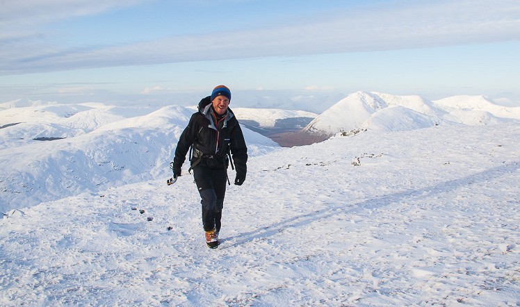
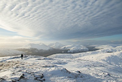
An easily accessed Munro, Beinn Challum may look uninspiring from the Crianlarich side, but this is deceptive. There’s some impressive terrain hidden away on the north flank, while even the summit ridge has more character than you might think. It’s a big hill, but not a big day, which makes this a good winter target when light is limited. With an exciting flavour of mountaineering (but just a hint – no ropes required) the northwest spur has to be the most interesting winter way up the hill, but with its comparative remoteness it’s a route few people seem to know about. It'd be good in summer too of course. Go up this way, then descend by the more frequently trodden Munro bagger’s path to complete a full traverse of a surprisingly worthwhile mountain.
Detailed description
This has been viewed 5,656 times
Download
OS maps and some other mapping apps don't allow waypointsStatistics
Difficulty: DifficultDistance: 7.77 miles (12.50 km)
Total ascent: 985m
Time: 5 – 6 hours (Walking)
to rate this walk.
Additional Information
Start/Finish:Turn right off the A82 just north of Crianlarich onto a private road signed for Strathfillan Wigwams. Park near a large shed a little way before reaching Auchtertyre farm, NN352290
Nearest town:
Oban
Terrain:
A long easy approach on forestry tracks is followed by rougher ground on the hill, in places pathless and boggy. The northwest spur of Beinn Challum has some rocky ground that offers basic and very intermittent scrambling in summer conditions.
Seasonal variations:
In winter conditions the scrambly sections of the northwest spur nudge into grade I winter climbing, though the difficulties are all avoidable and exposure minimal. The summit ridge between Beinn Challum's two tops can be heavily corniced.
Weather and Hill Conditions: mwis: West Highlands – Met Office: West Highlands
Public transport:
Bus or train from Glasgow to Tyndrum.
Maps:
OS Explorer 364 (1:25,000), OS Explorer 377 (1:25,000), OS Explorer 378 (1:25,000), OS Landranger 50 (1:50,000) Directory Listings:
Find more Listings near this route Tourist info:
Tyndrum (08452 255 121); Killin (08707 200 627)
Further Routes
by Dan Bailey UKH


We did this route in February. It's a great alternative to the standard route.
I think you may have got your west and east muddled up on the descent!
Well spotted, thanks Robert
Likewise. There's a photo in my gallery of some of the ridge ascent.