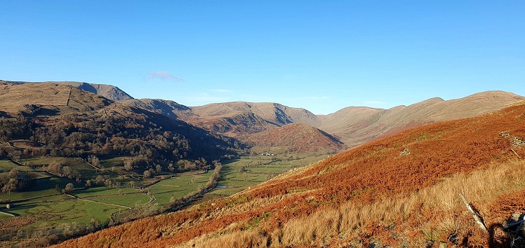
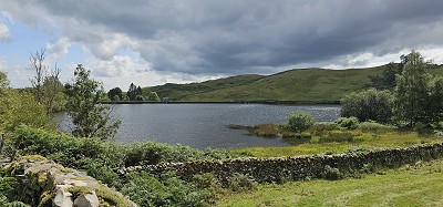
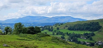
These two lesser heights, loitering at the tail-end of the Froskick-Ill Bell-Yoke ridge, are easily overlooked. Yes, you could save them for a damp day when clag covers the higher tops. You could treat them as “quick fix” hills, the route being both short and easily accessed from the motorway. But that wouldn’t do justice to a pleasant outing, with lovely views up the Troutbeck valley and over the full length of Windermere. The Dubbs Road, leading into Garburn pass, offers easy travelling over 90% of the route. In fact the Dubbs is a BOAT, a Byway Open to All Traffic, but I wouldn’t recommend doing that to your car’s springs. Or the trail. The descent is a gem, down a tiny crest of the sort of outcrops a small child could practise scrambling on during a family picnic.
Detailed description
This has been viewed 566 times
Download
OS maps and some other mapping apps don't allow waypointsStatistics
Difficulty: EasyDistance: 6.50 miles (10.46 km)
Total ascent: 362m
Time: 1:30 hours (Trail running);
2:30 hours (Walking)
to rate this walk.
Additional Information
Start/Finish:Dubs Road, near Ings, NY423006
Nearest town:
Windermere
Terrain:
Ninety percent of the route is on good Land Rover track. The ridge joining the two summits is all grass and the descent is a knobbly ridge.
Seasonal variations:
Highly unlikely to be affected by icing at these altitudes.
Weather and Hill Conditions: mwis: Lake District – Met Office: Lake District
Public transport:
The train will get you to Windermere station, within a couple of kilometres of the start.
Guidebooks:
Wainwright Far Eastern Fells
Maps:
OS Explorer OL7 (1:25,000), Harvey/BMC Lake District (1:40,000), OS Landranger 90 (1:50,000) Directory Listings:
Find more Listings near this route Tourist info:
Windermere (015394 46499); Bowness (015394 42895); Waterhead (015394 32729)
Further Routes
by Norman Hadley
- Bannisdale Horseshoe 6 Apr
- Kinder Downfall and the Reservoir Round 14 Feb
- Buttermere Horseshoe 3 Jan
- Brock Crags and Angletarn Pikes 12 Dec, 2023
- The Kentmere Frog 27 Nov, 2023
- High Street North 15 Nov, 2023
- Sgùrr a' Chaorachain: a slice of Applecross 17 Sep, 2023
- Wolfhole Crag: A Journey to the Centre of the Earth 5 Sep, 2023
- Wansfell Pike 16 Aug, 2023
- Walla Crag, Bleaberry Fell and High Seat 4 Jul, 2023


A nice couple of hills. I notice Wainwright was a bit dismissive of them, comparing them (unfairly in my opinion) to the bigger, craggier stuff north of Garburn. I used to ascend them more often from the Kentmere side where it's possible to make a nice circular round using CRoW access land where rights of way give out. I haven't been up Kentmere since before lockdown so I've no idea how parking in the valley is nowadays. As a bolt-on to your route it's quite a pleasant little side trip to the minor top of 'Fusethwaite Yeat' (275m, unnamed on OS maps) which can be accessed on CRoW land just south west of Dubbs Reservoir https://www.geograph.org.uk/photo/4019073 )
Interesting diversion, Lankyman. I'd always assumed that the water infrastructure put everything west of Dubbs Lane out of bounds.
And, yes, parking on the Kentmere side can be a bit fraught.