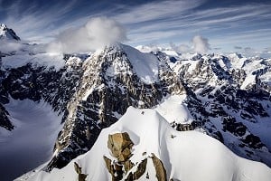
Standing on its own in the heart of Scotland, the giant lump of Schiehallion can be name dropped from hills all over the Highlands. Viewed end-on from west or east it pretends to be a classic cone, and looks its best as a picturesque backdrop looming above the wooded shores of Loch Rannoch or Loch Tummel. But that's a bit of a con. The mountain is really a single drawn-out ridge, several kilometres long, steep-sided and almost uniformly regular in shape. Thanks to its isolation and symmetry Schiehallion was famously used in 1774 to gauge the mean density of the Earth by painstakingly measuring the mountain's gravitational pull on a pendulum. For their sums the tweed-coated boffins had to calculate the volume and density of their mountain; and so the contour line was born. Nowadays most people just climb Schiehallion for the view, which is as all-encompassing as its location, height and independence suggests. I'm tempted to suggest that the best thing about Schiehallion is
distance itself - whether you're looking out from it at a great swathe of mountains, or recognising its lines from an unexpectedly far-flung viewpoint. Following a purpose-built path, the trade route from Braes of Foss is the most popular way up and back down, and barely needs a route description. However a circuit is generally better than a linear route, and the one described here takes you along Schiehallion's full length from west to east. The Braes of Foss path might be busy year round, but the rest of the hill is almost deserted by contrast, which is always a bonus in my book. Pick a clear day and the point of plodding up Schiehallion will be obvious.
7.63 miles, 12.28 km, 728m ascent, 4 – 5 hours. Pitlochry or Aberfeldy
Read more at http://www.ukhillwalking.com/logbook/r/?i=752