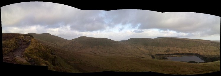
Simple walk along the Brecon Beacons
A walk from Aber, all the way over to the A470, taking in all the high points on the way, marked on the OS map, in total 11 'summits'.
Note that due to the length of the route, two vehicles would be best suited, one at the end, and one at the beginning, unless trail running, where all summits could be attained and a reversal of the route would be possible in daylight hours
Detailed description
This has been viewed 5,734 times
Download
OS maps and some other mapping apps don't allow waypointsStatistics
Difficulty: ModerateDistance: 11.87 miles (19.11 km)
Total ascent: 1,312m
Steepest Gradient: 33% (1 in 3)
Time: 5 – 8 hours (Walking)
to rate this walk.
Summits
Allt Lwyd 654 mWaun Rydd 769 m
Bwlch y Ddwyallt 754 m
Fan y Big 719 m
Cribyn 795 m
Pen y Fan 886 m
Corn Du 873 m
Y Gyrn 619 m
Additional Information
Start Aber, the begining of the path on the OS map, SO102207; Finish Car Park at the A470, SN982205
Nearest town:
The nearest town being the small village of Aber, Brecon town cetre is approx 20 min drive north
Public transport:
Public Transport may be available via buses, but as the routes will not easily join the Storey arms and Aber, personal transport is recommended.
Weather and Hill Conditions:
Met Office: Brecon Beacons
Maps:
OS Explorer OL12 (1:25,000), OS Explorer OL13 (1:25,000), OS Landranger 160 (1:50,000), OS Landranger 161 (1:50,000)
Directory Listings:
Find more Listings near this route
Tourist info:
Brecon Beacons National Park (01874 623 366); Brecon (01874 622 485); Merthyr Tydfil (01685 379 884)


