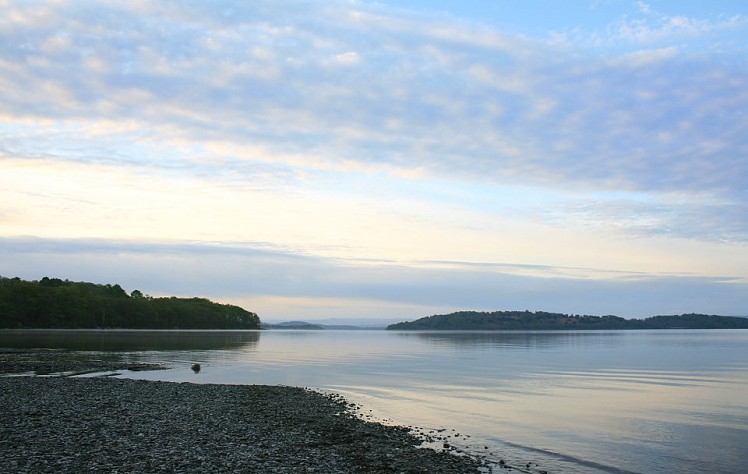
Stage two offers the first real highlight of the WHW with the ascent of Conic Hill. This little knobbly summit is located on the Highland Boundary Fault, so both symbolically and officially it represents the trail's entry to the mountains. Conic Hill has a great outlook on Loch Lomond, and back over the lowlands. The descent from here marks the start of one of the most enjoyable stretches of the WHW, the long and winding trail up the east shore of Loch Lomond, where the surroundings just seem to get more idyllic the further north you go. This is the largest natural freshwater loch in Scotland, wide and island-studded in the south and tapering as it runs north into a narrow ribbon of water hemmed in by steep mountains. The banks are thick with trees, among Scotland's most extensive remnants of native woodland.
Detailed description
This has been viewed 6,922 times
Download
OS maps and some other mapping apps don't allow waypointsStatistics
Difficulty: ModerateDistance: 15.36 miles (24.72 km)
Total ascent: 724m
Steepest Gradient: 24% (1 in 4)
Time: 5 – 7 hours (Walking)
to rate this walk.
Additional Information
Start Drymen, NS474886; Finish Rowardennan, NS358993
Nearest town:
Balloch
Terrain:
A mix of forest tracks and footpaths, with one notable hill climb on Conic Hill and several little ups and downs along the shore of Loch Lomond adding up to a reasonable total ascent for the day. The West Highland Way is well waymarked throughout so there are no navigation issues.
Maps:
OS Explorer 347 (1:25,000), OS Explorer 364 (1:25,000), OS Explorer 365 (1:25,000), OS Landranger 56 (1:50,000), OS Landranger 57 (1:50,000)
Accommodation:
Rowardennan Lodge Youth Hostel 01360 870259
Note that there's a seasonal wild camping ban on this section of the east shore of Loch Lomond (see UKH news for details - http://www.ukhillwalking.com/news/item.php?id=60919 )
There are official campsites at Millarochy, Cashel and a new semi-formal site at Sallochy (info on UKH news here: http://www.ukhillwalking.com/news/item.php?id=62805 )
Find more Listings near this route
Public transport:
Bus service between Balloch (rail) and Drymen.
Water bus services connect various points on the east side of Loch Lomond with points on the west shore that also have bus/rail links. See http://www.lochlomond-trossachs.org/visiting/water-bus/menu-id-868.html for details.
Guidebooks:
West Highland Way, Dan Bailey, pb. Pocket Mountains
http://www.pocketmountains.com/product/west-highland-way
Weather and Hill Conditions:
mwis: Southeastern Highlands – Met Office: West Highlands
Tourist info:
Drymen (08707 200 611); Balloch (08707 200 607); Aberfoyle (08452 255 121)
Further Routes
by Dan Bailey UKH
- East Ridge of Beinn a' Chaorainn and Beinn Teallach 21 Jan
- A' Chralaig and Mullach Fraoch-choire 4 Dec, 2023
- Meall na Teanga & Sron a' Choire Ghairbh - The Loch Lochy Munros 6 Nov, 2023
- Bynack More 19 Oct, 2023
- Beinn a' Mhuinidh 4 Oct, 2023


