Decision Making in Avalanche Terrain
Ben Gibson, Mountain Safety Advisor for Mountaineering Scotland, and Jon Jones, Head of Rock & Mountain at Glenmore Lodge, explain the 'Be Avalanche Aware' guidelines, which have been devised to enable people to make their own informed judgments at every stage of a winter journey.
Our hills may be comparatively small, and snow cover unreliable, but avalanches are still a major concern. This article aims to be a helpful reminder focusing on how to make safe decisions when going out into the UK mountains in winter. Whatever your winter sport, be it walking, mountaineering, climbing or skiing, the same decision-making process will apply. Here we'll look at what we should do before going to the hills, and once we're out there, based on the crucial 'Be Avalanche Aware' (BAA) guidelines, which have been devised to enable people to make their own informed judgments at every stage of a day.
It's important to remember that 'winter' isn't just snow-covered terrain but a time in the year when days are shorter, weather is colder, wetter and windier, and forecasting can be challenging with unpredictable weather patterns. In recent years, conditions have become less reliable and we see fewer consistent snow days, where mountain and hill terrain are not as we'd hoped for. However, that doesn't take away from the importance of planning and making good decisions prior to and while out on a winter mountain adventure.
Despite our changing climate snow cover can still be considerable pretty much any time between about mid autumn and mid spring, especially on higher Scottish hills, and avalanche hazards remain a major consideration. Here we aim to provide a healthy reminder of how we can make safe choices when out in the UK mountains.
Using the tried and tested Be Avalanche Aware guidelines as a dynamic thinking tool, here's how we can make informed decisions at every stage of a journey.
Know before you go
The planning stage makes up a large portion of your adventure and allows you to consider the three broad areas of the BAA guidelines:
- weather and conditions
- you and your party
- the mountain landscape
Having multiple Plan As is a good strategy to help prevent forcing one plan to work if conditions aren't in your favour for a particular route. Be open minded about what is the safest idea on any given day out.
For conditions info in Scotland read the avalanche reports from the Scottish Avalanche Information Service (SAIS). These are posted daily from six major winter areas: Torridon, N.Cairngorms, S.Cairngorms, Creag Meagaidh, Lochaber and Glen Coe.
Identify what the avalanche problems are, where they are and how they may impact your chosen activity.
In England, the Lake District Weatherline provides daily ground conditons reports from Helvellyn throughout the winter season.
You should also check a definitive mountain weather forecast at both MWIS the Met Office Mountain Forecast, paying attention to wind speed and direction, precipitation, and temperature. It's good practise to watch the weather for some days before your planned trip, which should give you a good idea of how things are developing on the ground.
Check on the map where you intend to visit and, using the forecast wind direction, work out where windblown deposits of new snow will most likely build – which is on the lee slopes. Remember that terrain is the answer to solving the issue of where avalanches are most likely to happen. This can be done using the 'Three A's' of understanding avalanche terrain:
- Angle
- Aspect
- Altitude
While it has a North American focus, this film is helpful in understanding how to identify avalanche terrain:
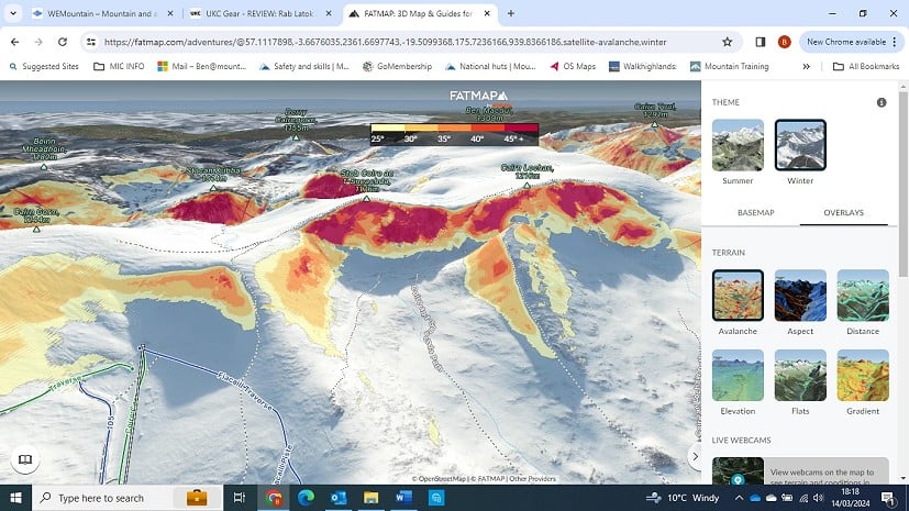
Regarding the mountain landscape, you must think about the sort of terrain you will be crossing and remember that most avalanches occur on slopes steeper than 30°.
The FATMAP App has a great feature allowing you to highlight steep terrain and identify where this will be throughout your planned journey - a useful supplement to your other navigation and planning. If using a 1:50,000 scale map, be aware that when the measurement between two index contours is less than 2mm then the slope will be over 30°. This will help you when considering the 3 As of avalanche awareness – altitude, aspect, and angle.
It's also useful to be aware that wind will transport snow from speeds of 10 - 15mph and above.
And don't forget to seek additional information from others who know the place you are visiting. The UKC Winter Conditions page and guides' blogs can be useful for additional information, but you should choose wisely and read between the lines. Just because one party has used a route without mishap is no guarantee they were wise to do so, or that you'll be safe to do so the next day.
Remember, longer planning time will be required if visiting complex mountaineering terrain. The planning stage is the make or break of any day out. Don't underestimate the time that should be spent on this.
Your mountain journey – Be flexible and open minded
Considering yourself and your party, make sure you all have a common objective and a shared ethos that it's okay to turn around if anyone is not happy. Remember: a party is only as strong as its least experienced member. Good clothing and equipment, plus the ability to use the equipment, are essential. The ability to navigate in poor visibility is also an essential winter skill and you will only be able to do this if your equipment is up to the test.
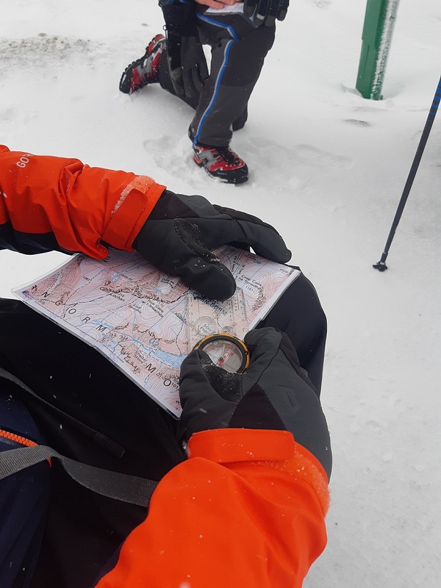
If using a phone or GPS as an additional navigational aid check out these useful tips from Mountaineering Scotland on looking after it.
"Evaluate your decisions prior to getting the outcomes" – Annie Duke (Thinking in Bets)
Constantly observe weather and snow conditions while you are travelling to your chosen venue, and adjust your plans accordingly.
Pay attention to underfoot conditions and, as far as visibility will allow, consider wind speed and direction, the amount of wind-blown snow and the temperature.
Before you set off, ask if you and your group are equipped as expected and how the conditions compare with what you expected. Once you are underway, consider whether you and your group are coping with the conditions.
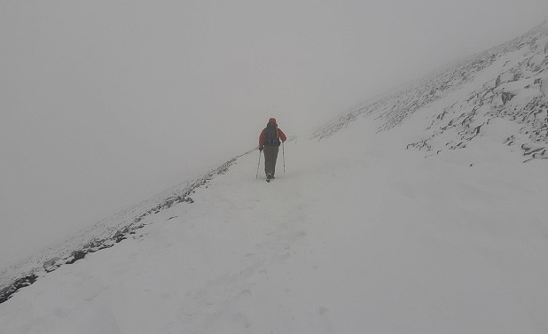
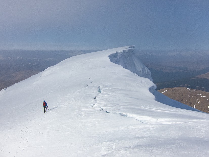
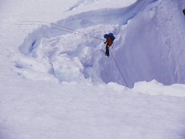
In terms of the mountain landscape, review whether the shape and angle of the ground is as you expected – and look to see where the fresh snow is lying and whether it will affect your planned route. Keep paying attention to what the temperature is doing, and think how that might affect the stability of cornices for instance.
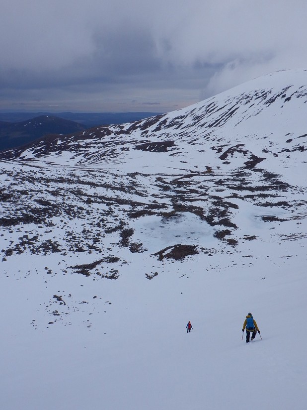
Through good planning nothing should come as a surprise once on your journey. But if, through your observations, any of the above are not meeting your expectations then stop and consider the most appropriate alternative plan.
Key Places – minimise distraction when looking at the facts
Examples of a 'key place' to stop and take stock are the approach slopes to a climb, or before beginning the descent of a slope or a gully. A key place during your day should be as you expected through your good planning and observations while journeying to your desired location.
Just because you observe others using an approach slope or descent doesn't therefore mean you should do it! Relate back to your plan and observations of what the conditions are like for you and your group. Don't be distracted by what others may do.
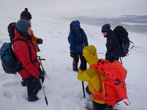
Don't ignore the signs of what avalanche problems and hazards there may be on your journey - and live to fight another day!
To learn more about the Be Avalanche Aware Guidelines, with a downloadable pdf advice sheet, see here
