


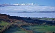

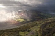
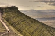


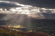


Bikes Bikepacking Scotland - Five of the Best Routes
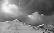
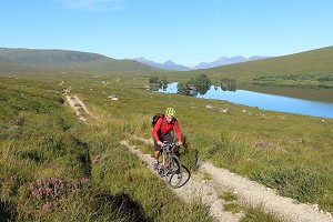
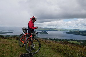
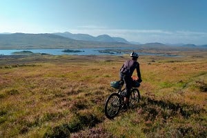
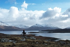
Bikepacking is one of the purest ways to discover Scotland off the beaten track, says Markus Stitz, author of a new guidebook. From a wild loop through the Cairngorms, to an alternative take on the North Coast 500, here are some of his favourite...


Comments