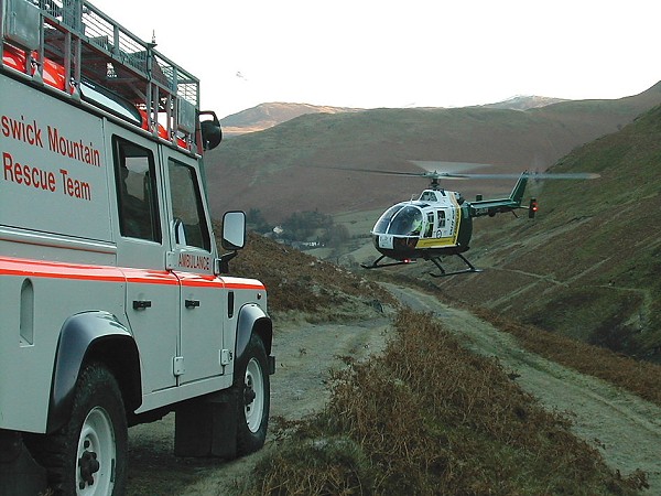
Several Mountain Rescue Teams in England and Wales have adopted a new mobile app that keeps track of a user's location.
For Mountain Rescue Teams (MRTs) a useful feature of the ViewRanger app is its BuddyBeacon tracking facility, which allows users to keep tabs on each other's location, potentially improving search co-ordination and team safety. With this MRT members can follow the progress of colleagues on their handsets. There is also a web access to BuddyBeacon which means that team coordinators back at base can track rescue progress in real time, while tracklog recording helps with the reporting process after a rescue. However the location facility does require mobile connectivity in order to work.
Nearly 50% of the England & Wales Mountain Rescue Teams now use ViewRanger. Mapping, GPS navigation and track recording are all performed local to the handset and don't require a mobile signal, so they can work in the remotest of locations. ViewRanger's integration with Retrieva Tracking's GPS dog collar can also help SARDA Search and Rescue Dog teams to track and follow their search dogs right alongside the team's human participants.
Teams who have adopted the app sound impressed:
'Weather conditions were poor with visibility down to 50 metres in heavy snow. ViewRanger guided the stretcher party to and from the casualty site' Glossop Mountain Rescue Team.
'At Kendal MRT we are finding the more we use ViewRanger the more we like it. Having just used it extensively in the Cairngorms during winter training we are impressed by the accuracy achieved, ease of use and its ability to supplement and reinforce more traditional navigation techniques. Not everyone in the team has a personal GPS enabled with a mapping facility, but all of us have and use mobile phones, so the addition of ViewRanger to team members with compatible phones is a very cost-effective way of enhancing our ability to operate in poor conditions, especially when working away from our 'home' area with other Teams' Kendal Mountain Rescue Team.
However MRTs are keen to point out that their use of such technology should not encourage walkers to get sloppy. When out in the hills GPS is still best considered a supplement to map, compass and basic navigtion skills, not a substitute for them.
For more info see ViewRanger website.


Comments