


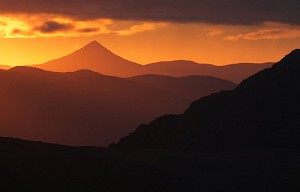
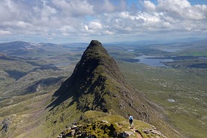
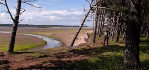
A new online mapping project launched recently by Ramblers Scotland presents the scale of Scotland's path network to a level of detail not seen before. Showing nearly 42,000 miles of paths, including many that are not featured on Ordnance Survey maps, the interactive Scottish Paths Map collates data from numerous sources, and can be updated as more trails are audited.

© Ramblers Scotland
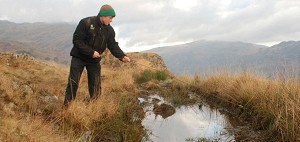
Since 2019 surveys carried out by volunteers have added almost 450 unmapped paths that total more than 85 miles in length. Paths are marked in purple on the map until checked by volunteers, at which point they turn green. Many more paths are expected to be audited in future, extending the public's access to useful details such as a path's surfacing, condition, waymarking and obstacles such as gates or stiles.
There's still much scope for the map to expand, say Ramblers Scotland, and the charity is urging walkers to volunteer to help audit its data and record hidden paths in their owns areas - see here.
While Scotland's access law represents a step change from any other UK jurisdiction, the network of footpaths - particularly in more populated lowland areas - is generally less well developed than in England and Wales. It's hoped the new map will expand walkers' horizons by providing more on-the-ground information, serving as a supplement to traditional maps rather than replacing them.

© Ramblers Scotland
"Scotland has amazing landscapes and world-class access rights, yet sadly many people still lack confidence about where to walk – so mapped paths are key to creating a healthier, happier nation" said Ramblers Scotland director Brendan Paddy.
"I hope that people will use our Scottish Paths Map to plan walks, find new routes and unearth previously-unknown paths on their doorstep.
"While this is the best-ever map of Scotland's paths, we believe that it can be still be improved – so I'd encourage people to volunteer to help us audit data and identify thousands more hidden paths across Scotland."
The map can be used on desktop or mobile devices, and in future Ramblers Scotland intends to make its entire Scottish Paths Map dataset freely downloadable in various formats.
Ramblers Scotland has worked with many partner organisations to include their path data and to agree a definition of what standards a path should meet for it to be mapped. It is also inviting any organisations with path datasets to include them in the project.


Comments