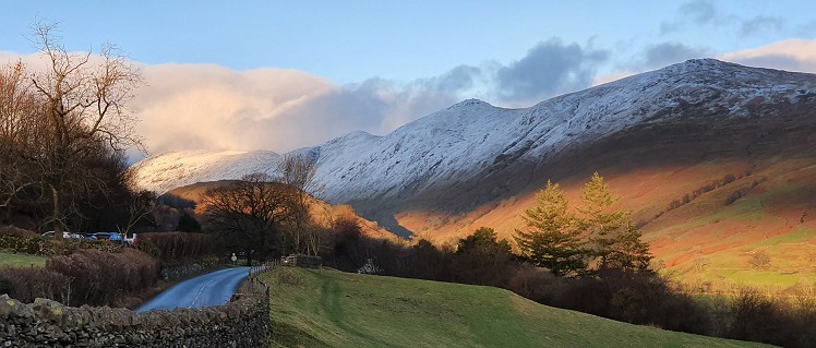
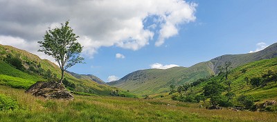
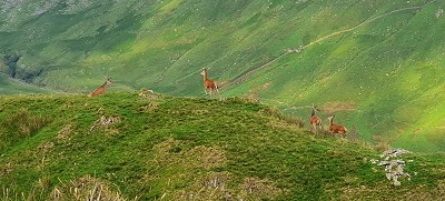
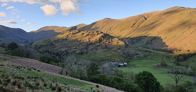
Stony Cove Pike is a vastly underrated fell on the eastward side of Kirkstone Pass and commonly referred to under its less-exciting name, Caudale Moor. But don’t be fooled by the flat top: it has far more going for it than is immediately apparent. No fewer than six ridges radiate from the top: one to the east, two to the north and three to the south. There are also five distinct valley approaches intermingling the ridges. And it is the southernmost of these that guides our ascent here. Ridges have airy views but, in hot weather, the cooling presence of water is a major impetus to cling to the valleys. This ascent allows you to drink and paddle to within a few minutes of the summit. The constant presence of water also increases the likelihood of wildlife. This ascent will almost certainly afford you a close encounter with red deer and, in high summer, the upper valley is fat with dragonflies.
Detailed description
This has been viewed 909 times
Download
OS maps and some other mapping apps don't allow waypointsStatistics
Difficulty: ModerateDistance: 12 miles (19.31 km)
Total ascent: 989m
Time: 5:30 – 6:30 hours (Walking)
to rate this walk.
Additional Information
Start/Finish:Limefitt Park, Troutbeck, NY413030
Nearest town:
Troutbeck
Terrain:
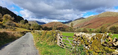
Troutbeck is one of those valleys that hide in plain sight: the lower reaches are traversed by the Kirkstone road and are well-known. But, beyond Troutbeck Park Farm lies a genuinely wild dalehead, teeming with waterfalls and every chance of solitude.
Public transport:
The 508 bus serves Troutbeck in summer
Weather and Hill Conditions:
mwis: Lake District – Met Office: Lake District Maps:
OS Explorer OL5 (1:25,000), OS Explorer OL7 (1:25,000), Harvey/BMC Lake District (1:40,000), OS Landranger 90 (1:50,000) Directory Listings:
Find more Listings near this route Tourist info:
Waterhead (015394 32729); Ambleside (015394 32582); Windermere (015394 46499)
Further Routes
by Norman Hadley
- Bannisdale Horseshoe 6 Apr
- Sallows and Sour Howes 20 Mar
- Kinder Downfall and the Reservoir Round 14 Feb
- Buttermere Horseshoe 3 Jan
- Brock Crags and Angletarn Pikes 12 Dec, 2023
- The Kentmere Frog 27 Nov, 2023
- High Street North 15 Nov, 2023
- Sgùrr a' Chaorachain: a slice of Applecross 17 Sep, 2023
- Wolfhole Crag: A Journey to the Centre of the Earth 5 Sep, 2023
- Wansfell Pike 16 Aug, 2023


An interesting route.
Last January I walked up the Troutbeck valley, a hidden gem, all the way up to Threshthwaite Mouth, then back over Thornthwaite Crag and down the Roman Road as you describe. The side valley that you followed up onto Stoney Cove Pike looks very intriguing, definitely something for the future.