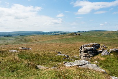
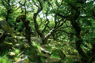
The most extensive upland area in southern England, Dartmoor is a unique and very special place, an island of wildness rising from the rolling Devon countryside. Wooded valleys and picturesque villages fringe the edges, but it's in the austere moorland at its heart, amid the empty miles of tussock grass and lurking mires, that hillwalkers and runners will find their challenge. Meeting this uncompromising landscape on its own terms, a traverse of the entire moor from end to end is one of the great walks of Britain. With a right to wild camp in much of the National Park, and any number of isolated spots to do it in, the route can easily be stretched over two days; but given sufficient daylight, decent weather, and a bit of a following wind, it's a fantastic one-day adventure. Note: This precise route is only possible when live firing is not taking place on the Okehampton Range. For scheduled firing times see www.access.mod.uk or call 0800 458 4868
See our article on this route
Detailed description
This has been viewed 3,295 times
Download
OS maps and some other mapping apps don't allow waypointsStatistics
Difficulty: SevereDistance: 29.20 miles (47 km)
Total ascent: 1,084m
Time: 11 – 13 hours (Walking)
to rate this walk.
Summits
Oke Tor 466 mHangingstone Hill 603 m
Lower White Tor 507 m
Higher White Tor 522 m
Longaford Tor 496 m
Additional Information
Start I chose to start at the village of Sticklepath (park considerately), but with its newly reinstated rail link, Okehampton would be an obvious alternative, SX641942; Finish Ivybridge train station, SX646566
Nearest town:
Okehampton
Terrain:
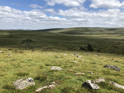
Clear valley footpaths and some stretches on vehicle tracks, but with a lot of pathless or semi-path terrain on the high ground. Dartmoor's typical knee-deep tussock grass makes for hard going. With the occasional mire thrown in for fun, this walk is best saved for a dry spell. If you're used to the bigger hills of the north and assume that the treacherous reputation of Dartmoor bogs must be soft southern overstatement then you may be in for a bit of a shock. The high moors are featureless and very remote, so competent navigation is essential. It's a spooky place to be in thick mist.
Seasonal variations:
Genuine winter conditions are infrequent but not unknown, and in proper snow the route will be very hard going. With limited winter daylight, expect to be walking some of this in the dark. Wet weather would make things especially gloopy in places, while in high water the crossing of the East Dart will need care.
Public transport:
Okehampton and Ivybridge are both on train lines and bus routes, but travelling back to the start from the finish via either Exeter or Plymouth is a bit of a faff.
Maps:
OS Explorer OL20 (1:25,000), OS Explorer OL28 (1:25,000), OS Explorer 113 (1:25,000), OS Landranger 191 (1:50,000), OS Landranger 202 (1:50,000)
Directory Listings:
Find more Listings near this route
Tourist info:
Okehampton (01837 53020); Chagford (01647 432080); Moretonhampstead (01647 440043)
Further Routes
by Dan Bailey UKH
- A' Chralaig and Mullach Fraoch-choire 4 Dec, 2023
- Meall na Teanga & Sron a' Choire Ghairbh - The Loch Lochy Munros 6 Nov, 2023
- Bynack More 19 Oct, 2023
- Beinn a' Mhuinidh 4 Oct, 2023
- Loch Ossian round - Seven Munros by Train 15 Sep, 2023


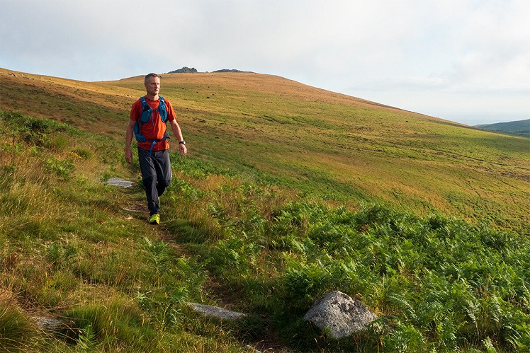
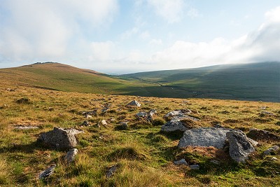
Suggesting anyone attempts to cross Fox Tor Mires on the "path" is sadistic, but also a quintessential worthwhile Dartmoor experience
I tried to ad lib across and that lasted a couple of minutes before I saw sense. When found it, the path turned out to be a fantastic totally dry route, but almost invisible til you're on it. It was a bit like something out of Sherlock Holmes
I first naively tried it in winter. I would imagine this summer would be relatively straightforward. By compaison...
And in wet winter conditions it really is a challenge, even trying your best to bypass it!