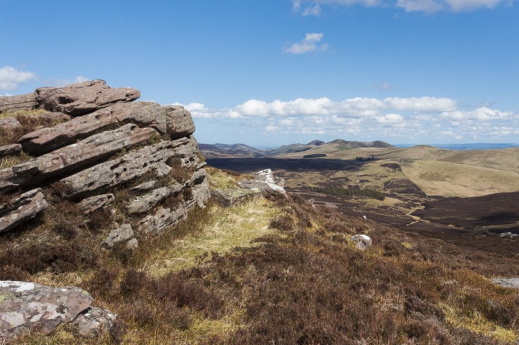
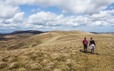
Closer to Edinburgh the Pentlands tend to be bustling, so for something a little more peaceful head to the quieter south-western end of the range. This enjoyable mid-length circuit offers a great feeling of wide open space, and far reaching views. It's generally easy going, though some tolerance for bogs is helpful.
Fetching Map
Height Profile
metres / Distance
miles
Detailed description
1
NT1263354897 Stay on the farm track to go north past some sheds and forestry operations, then uphill past a few houses to the cottages at the west end of the Baddinsgill Reservoir dam. Cross the dam, or follow the track down on its south side, then cross a footbridge over the reservoir sluice. Follow a grassy path uphill, almost due east, climbing past a small pine wood to gain Mount Maw's east ridge. This gives a long easy ascent with a steep finish leading to the trig point on the grassy summit.
2
NT1413655528 Turning north, follow the obvious path beside a fence line along the broad ridge crest. It's largely easy grassy going, but muddy in places. Pass over the hump of Grain Heads, then stick with the fence as it traverses just left of the summit of The Mount. Follow the fence on a steady descent to a wide and very boggy col. Pick a way through the mossy sludge to gain the obvious path up Wether Law – again, a fence is a useful handrail in poor visibility. Rather than passing over the summit the path and fence dodge around its southern slope before dropping to another bog-riddled col, Henshaw Mouth.
3
NT1343558463 Now attack the southeast slope of East Cairn Hill. The best path is just to the right side of the fence. East Cairn Hill is something of an anomaly hereabouts, with thick heather and jumbles of rocks to break the monotony of these otherwise gentle hills, and the going is a bit rougher underfoot. Pass over a minor summit at 550m (good views NE to the tight cluster of summits that form the main Pentland massif) then cross the wall and fence, to gain the clearest onward path across the broad summit slopes. The eastern of the main tops is the high point, but the best view is from the cairn on the western top. A swathe of the Central Belt is laid out below you, with the Forth Bridges, the Edinburgh skyline, Fife and the Ochils all clearly visible. You might even spot the highlands. The cairn is enormous, and hollowed out on the inside to create a circular seated windbreak.
4
NT1216859559 Backtrack briefly to pick up the top of an obvious descent path that drops down the steep SW flank. This leads to a broad saddle, the Cauldstane Slap, where – you guessed it – some boggy ground is encountered. Join the Thieves Road at a gate and signpost.
5
NT1178958870 Running right through the Pentlands, this historic drover's road used to connect Mid Calder with West Linton; nowadays bikes and pedestrians have replaced cattle. Turn left onto the Thieves Road, here just a path, and follow it south over open heather moorland. The going is good underfoot. After just over 1km the path widens into a vehicle track, continuing south across the little valley of the Ravendean Burn – quite a remote spot – then across open ground above the Baddinsgill Reservoir, to meet your approach route at the dam.
This has been viewed 3,176 times
Download
OS maps and some other mapping apps don't allow waypointsStatistics
Difficulty: ModerateDistance: 8 miles (12.90 km)
Total ascent: 461m
Time: 4 – 5 hours (Walking)
Voting:
from 1 votes
Login as Existing User
to rate this walk.
to rate this walk.
Additional Information
Start/Finish:Park with consideration where the public road from West Linton ends near Baddinsgill farm (some verge parking just before a cattle grid/gate, and a little parking couple of hundred metres further on), NT126549
Nearest town:
West Linton
Terrain:
A mix of farm tracks, grassy paths and boggy bits. Nothing too taxing.
Seasonal variations:
With sufficient snow, this would make a fantastic ski tour.
Weather and Hill Conditions: mwis: Southern Uplands
Public transport:
Bus from Edinburgh to West Linton
Maps:
OS Explorer 344 (1:25,000), OS Landranger 65 (1:50,000), OS Landranger 72 (1:50,000) Directory Listings:
Find more Listings near this route Tourist info:
Edinburgh Airport (0844 481 8989); Edinburgh Airport (0844 481 8989); Biggar (01899 221 066)
Further Routes
by Dan Bailey UKH
- East Ridge of Beinn a' Chaorainn and Beinn Teallach 21 Jan
- A' Chralaig and Mullach Fraoch-choire 4 Dec, 2023
- Meall na Teanga & Sron a' Choire Ghairbh - The Loch Lochy Munros 6 Nov, 2023
- Bynack More 19 Oct, 2023
- Beinn a' Mhuinidh 4 Oct, 2023


Often a trauchle through the bogs but still a good route nonetheless. Probably worth mentioning the East Cairn Hill cairn is a hollowed out prehistoric burial cairn, not just your average summit pile
https://canmore.org.uk/event/710695