The Calf and Cautley Spout Walking

Part of the Yorkshire Dales, but often unjustly overlooked, the Howgill Fells have plenty of peace and quiet. Neither the sprawling bog-fest typical of the Pennines, nor the craggy fells we know and love in Lakeland, this compact-but-intriguing backwater of a range has a character all its own - rolling, steep-sided and grassy. Starting from the charming small town of Sedbergh (a magnet for book lovers), this circuit takes in two key highlights - The Calf, the hub-like central high point of the Howgills, and the impressive ravine of Cautley Spout, England's highest waterfall (above ground, at least).

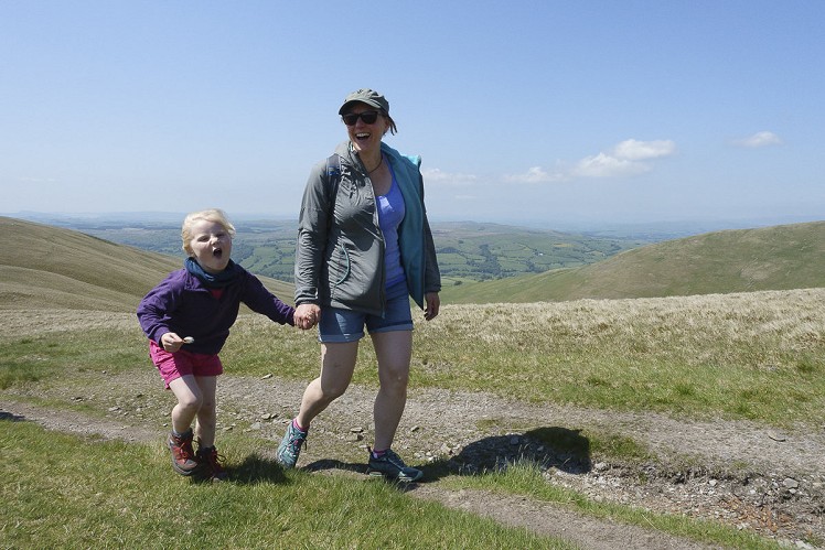
A windy day on Arant Haw  © Dan Bailey - UKHillwalking.com
A windy day on Arant Haw
Fetching Map

Detailed description

1
SD6594692157 From Sedbergh town centre follow Main Street east to Westwood Books, one of the biggest and best book shops you're likely to find in any small town (with a great selection of mountain literature). Here turn left up Castlehaw Lane. This climbs steadily uphill out of town, passing a wooded knoll (old motte and bailey castle) to reach a Castlehaw Farm. Just before Howgills Barn bunkhouse, look for a gated turnoff on the left. This woodland trail leads up beside Settlebeck Gill, soon crossing the stream to continue to a field boundary at the foot of the open fells.

2
SD6600992821 Go through the gate and follow the wide path up a short zigzag. Ignoring a left-hand turnoff (a very steep path onto the summit of Winder) the main trail makes a rising traverse along the west flank of the valley of Settlebeck Gill. The slopes soon open out, and it's a steady climb up grassy ground (a few boggy bits) up the head of the valley and on towards the rounded summit of Arant Haw. It's possible to skirt this top, but better to climb it. At a path junction stay left to climb to the summit cairn. It's a superb viewpoint overlooking Sedbergh and the upper Lune valley.

3
SD6620794624 Follow the broad, grassy ridge east-northeast, soon rejoining the main trail. The clear, well-drained path makes for quick progress, as it curves north along the ridge of Rowantree Grains before zigzagging more steeply up the the summit of Calders. Now an engineered gravel path (not an ugly one as these things go) the oath now winds over the open grass-and-bog slopes of Bram Rigg Top to reach a little saddle at the head of Force Gill Beck, just under the summit of The Calf. Note the path junction here, then carry on up to The Calf's summit trig point.
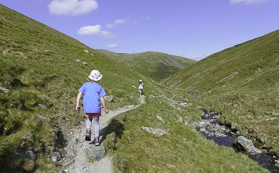
Heading for the top of Cautley Spout  © Dan Bailey - UKHillwalking.com
Heading for the top of Cautley Spout
© Dan Bailey - UKHillwalking.com, May 2018

4
SD6674197042 As the central high point of the Howgills, this big rolling hill has a breezy, spacious feel, but would be very exposed in wild weather. Return to the path junction on the col and turn left to follow a well-worn trail down Force Gill Beck. Surrounded by high ground, and with the drop of Cautley Spout unseen ahead, this intriguing little valley feels isolated from the outside world. Passing a sheepfold on the other side of the stream, rebuilt by landscape artist Andy Goldsworthy, no less, the path continues along the north bank until the valley quite abruptly comes to an end at the edge of Cautley Spout. This famous waterfall forms a series of cascades in a precipitous gorge, largely invisible from above. The trail skirts around the head of the falls before descending very steeply above the north flank of the gorge. With slopes dropping away below, walkers with a poor head for heights may find the rocky descent a challenge, and parties with kids in tow should be especially careful. As height is lost the sense of hazard soon abates, and it's possible to enjoy the view back up at the falls. As the angle eases the valley opens out into a broad pasture, backed by the wall of Cautley Crag. It's a really scenic spot, and feels very fitting as the site of an iron age settlement.

5
SD6928696867 It's possible to cut the walk short at the cross Keys Inn on the A683, but you'll need to have arranged transport.
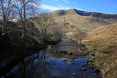
Cautley Crag from River Rawthey  © Dan Bailey
Cautley Crag from River Rawthey
© Dan Bailey
To walk back to Sedbergh instead, at a path junction just before meeting the River Rawthey, turn right to cross a footbridge over Cautley Holme Beck. Join a track, the course of the Wainwright-inspired long distance footpath 'A Pennine Journey'. The track leads south along the foot of the Howgills, with the River Rawthey off to your left - it's very pretty, and route finding is no issue for several kilometres. Beyond Fawcett Bank the track passes through a small wood before meeting a tarmac road at Thursgill.

6
SD6808893363 Follow the lane to Buckbank, where A Pennine Journey cuts left onto a footpath down to the River Rawthey. Follow the north bank of the river for about 2km, a delightful stretch with woods, meadows, and innumerable pools and rapids. Just after the A684 crosses a bridge over the river turn right along the edge of a playing field, then left along the A683 to return to the middle of town.

This has been viewed 5,297 times

Loading Notifications...
Facebook Twitter Copy Email