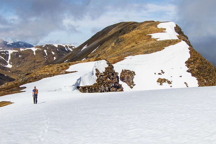
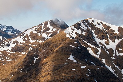
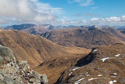
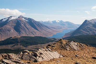
Glen Coe is all close-packed contours and well-scuffed ridges, but next-door Glen Etive has a wider, wilder feel, with the promise of big days on big hills that see far less footfall. Rising in a complex tangle above the forestry (and hydro scheme mess) of the lower glen, the Munro and Corbett pair of Sgor na h-Ulaidh and Beinn Maol Chaluim are typical Etive, full of rugged charisma and yet relatively unfrequented. Tackled together they make a logical circuit, with some tough ground and a hint of scrambling.
Fetching Map
Height Profile
metres / Distance
miles
Detailed description
1
NN1432748449 From the car park on the east bank of the Allt Charnan, duck into the woods. Following the course of the burn at a slight remove, a decent forest track heads uphill through the dense pines to emerge, after roughly 2km, in the open glen. Dead ahead is the steep outline of Beinn Maol Chaluim - and it's obvious from here why the descent from this peak (stage 3) will need care.
2
NN1353350348 Near a prominent boulder quit the path and head roughly northeast to slog up the grassy lower slopes. Beinn Maol Chaluim takes the form of a single long ridge crest, like the hull of an upturned boat, with the high point at the far end. Pass over the southeast top and continue along the ridge on an easy but spectacular stride to the summit.
3
NN1349952581 Cliffs preclude a direct descent west, so first head north for roughly 1km, descending steep rocky ground to reach the bealach below Bidean nam Bian. To outflank the crags below to your left continue north along the bealach until it's possible to drop left on grass between the rocks (good visibility is useful). Once below the cliffs double back, traversing south across a steep grassy slope to reach the narrow notch of the Bealach Fhionnghaill.
4
NN1303052439 Heading west, climbing onto the east ridge of Stob an Fhuarain. Two lines of crags cut across the lower ridge. Though it's avoidable the first can be scrambled up directly at a cautious grade 1 - if in doubt a line of metal fence posts shows the way. It is best to outflank the bulk of the second crag to its left via a grassy path, though even this dodge needs a little care. Above these obstacles the upper ridge gives easier going, in a spectacular position above the northeast corrie. From the summit follow a better-defined trail down the ridge to the col below Sgor na h-Ulaidh. The path now zigzags steeply up the rocky northeast flank to reach the summit cairn perched on the edge of the Munro's northern cliffs.
5
NN1111851797 Retrace your steps briefly along the summit ridge, then bear slightly right to pick up the southeast ridge. This gives a fairly steep descent with rough ground aplenty, and one or two brief scrambly moments. Any notable rock steps can be outflanked, and though the path is not always easily spotted a line of old fence posts serves as a guide. From the base of the ridge cross a broad col, then make a long gentle ascent through rocky knolls to reach the summit cairn of Meall a' Bhuiridh. There is no path as such, so navigation needs to be careful if it's misty.
6
NN1257050668 This minor top has a nice quiet feel, and almost unrivalled views over Glen Etive to the peaked profiles of Bens Starav and Cruachan. To descend go roughly south. From a broad rocky shoulder at about the 600m contour bear left down towards the forest edge. Just above the treeline cut hard left on a faint path contouring steep grass, then at the corner of the wood go due east. Cross the burn to rejoin the track of stage 1 at the entrance to the forestry.
This has been viewed 757 times
Download
OS maps and some other mapping apps don't allow waypointsStatistics
Difficulty: DifficultDistance: 9.44 miles (15.20 km)
Total ascent: 1,502m
Time: 7:30 – 8:30 hours (Walking)
Voting:
from 1 votes
Login as Existing User
to rate this walk.
to rate this walk.
Summits
Beinn Maol Chaluim 907 mSgor na h-Ulaidh - Stob an Fhuarain 942 m
Sgor na h-Ulaidh 959 m
Meall a' Bhuiridh 748 m
Additional Information
Start/Finish:Car park off Glen Etive road near Invercharnan, NN142484
Nearest town:
Fort William
Terrain:
Forest track to start, then a steep and pathless ascent. Descent from Beinn Maol Chaluim needs attentive route finding and a careful footing, while the climb over Stob an Fhuarain to Sgor na h-Ulaidh is rough, and hands-on in one or two spots. The return over Meall a’ Bhuiridh is path-free too.
Seasonal variations:
With a lot of steep and complex ground, this would be a testing route in winter, and some mountaineering competence would not go amiss.
Weather and Hill Conditions: mwis: West Highlands – Met Office: West Highlands
Public transport:
No chance!
Maps:
OS Explorer 377 (1:25,000), OS Explorer 384 (1:25,000), Harvey/BMC Ben Nevis (1:40,000), OS Landranger 41 (1:50,000), OS Landranger 50 (1:50,000) Directory Listings:
Find more Listings near this route Tourist info:
Ballachulish (08452 255 121)
Further Routes
by Dan Bailey UKH
- A' Chralaig and Mullach Fraoch-choire 4 Dec, 2023
- Meall na Teanga & Sron a' Choire Ghairbh - The Loch Lochy Munros 6 Nov, 2023
- Bynack More 19 Oct, 2023
- Beinn a' Mhuinidh 4 Oct, 2023
- Loch Ossian round - Seven Munros by Train 15 Sep, 2023


