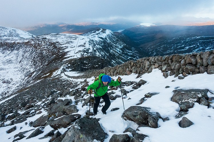
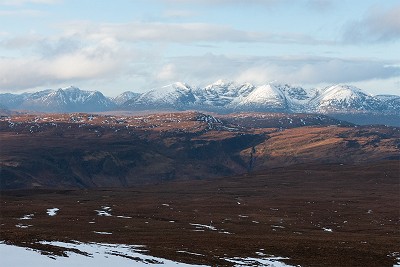
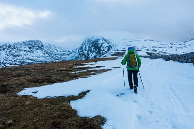
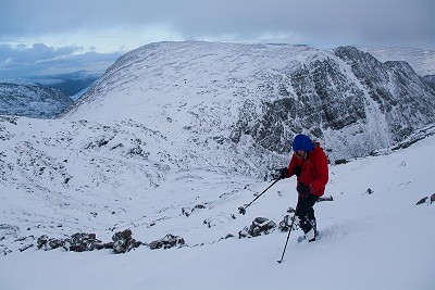
Perhaps as often used as a descent for winter climbers as a route up for walkers, this ridge is a grand way to tackle an imposing hill. The highest thing this far north in Scotland, Beinn Dearg's domed summit and spectacular corries make it an obvious target. But it's a long way in from any angle, and while a summer visit might include other nearby Munros (the classic being a four-peak round), even the route covered here on Beinn Dearg alone can seem a big day in winter. The ridge is notable for the drystane wall running its length. Built as a destitution-relief project in the cash-strapped 19th Century, its original purpose may have been nothing more than the provision of hard labour in a time that didn't much go for 'idle' charity, but the wall has since gained a useful role as a navigational aid - something you may welcome if the ming descends on Beinn Dearg's bald pate. In season, the long return down Gleann na Sguaib gives you a chance to check out how the winter climbing on the hill's northern crags might (or might not) be shaping up.
Detailed description
This has been viewed 1,628 times
Download
OS maps and some other mapping apps don't allow waypointsStatistics
Difficulty: DifficultDistance: 12.68 miles (20.40 km)
Total ascent: 1,137m
Time: 6 – 8 hours (Walking)
to rate this walk.
Additional Information
Start/Finish:Walker's car park by A835 at Inverlael (near, but not immediately outside the house), NH181852
Nearest town:
Ullapool
Terrain:
Forest tracks to start, then sketchy paths - at best - for the remainder of the ascent. Some heather, some stony sections, but mercifully little bog. Navigation is largely easy thanks to the Destitution Wall, but the short wall-free leg to the actual summit will need care in poor conditions. Descent via Gleann na Sguaib follows a clear, easy path.
Seasonal variations:
A big, wild hill, Beinn Dearg is at its most challenging in winter. The north flank of the northwest ridge may be heavily corniced, and if so then it would be sensible to stay south (right) of the wall.
Weather and Hill Conditions: mwis: Northwest Highlands – Met Office: West Highlands
Public transport:
Bus from Inverness to Ullapool passes the start of the route.
Guidebooks:
For the four-Munro round see Great Mountain Days in Scotland (Cicerone)
Maps:
OS Explorer 436 (1:25,000), OS Landranger 20 (1:50,000) Directory Listings:
Find more Listings near this route Tourist info:
Ullapool (0845 22 55 121)
Further Routes
by Dan Bailey UKH
- East Ridge of Beinn a' Chaorainn and Beinn Teallach 21 Jan
- A' Chralaig and Mullach Fraoch-choire 4 Dec, 2023
- Meall na Teanga & Sron a' Choire Ghairbh - The Loch Lochy Munros 6 Nov, 2023
- Bynack More 19 Oct, 2023
- Beinn a' Mhuinidh 4 Oct, 2023


Never been up Beinn Dearg by this route but I did think it looked a good possibility - will give this way a go next time, thanks.
Glad you had a good day!
Its definitely an enjoyable approach, though as previously mentioned we'd cut up to the ridge later. Your version definitely makes more sense, especially if the river is high.
I really like that ridge, never very keen on dropping into glens if there's a high alternative. Out of 3 options for accessing the ridge (including yours) my preference would be for crossing the river just above Eas Fionn (usually straightforward) and taking the easy slopes east to Bealach an Eas Fhinn. The new road to the weir on your route certainly solves any river crossing concerns though (that wasn't there when we used that route).