


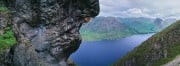
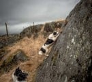


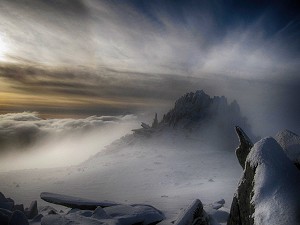
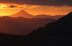
One Minute Mountain Steeple
From some angles it's all drama; from others it's hardly there at all. Steeple is a fell with extremes of personality, says Alex Roddie, in our ongoing series of bite sized intros to Britain's favourite hills.
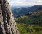
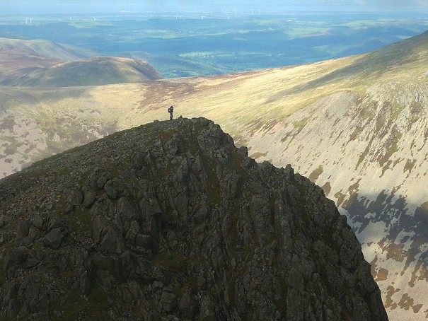
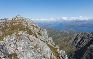
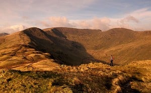
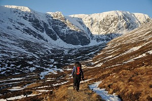
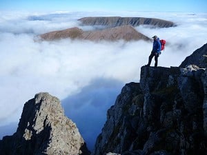
Quick intros to Britain's favourite hills: this week High Street, gentle giant of the Lake District's far eastern fells. The Romans knew a good thing when they saw it.

Height: 828m
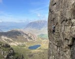
Personality: High, rolling and grassy, but with hidden depths in the craggy coves of Blea Water and Riggindale.
What's in a name? High Street is named after a Roman Road that ran along the summit ridge on its way between forts at Ambleside and Penrith, staying high to avoid the densely wooded valleys where hostile natives could more easily stage an ambush. The threat of bushwhacking may have receded but the Romans clearly knew a good thing when they saw it, and the course of their road is still one of the easiest bits of summit striding in England.
Who does it? As the high point in the far eastern fells (as defined by Wainwright) High Street draws in the pedestrian punters in their hundreds. The course of the old Roman Road is now plied by mountain bikers on a classic high ridge ride. And in hard winters the eastern crags above Blea Water attract ice climbers.
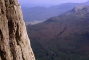
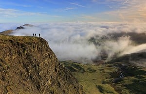
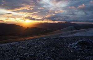
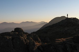
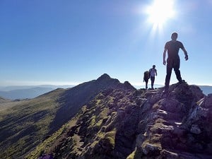
Why climb it? Easy walking and expansive views over the wide, rolling eastern Lake District - what's not to love?
The experts say: 'Despite its proximity to the M6, Mardale and the Haweswater reservoir have an air of peaceful remoteness rare in the Lake District... The ridge provides magnificent panoramas of the Lakeland fells, particularly westwards to the Helvellyn massif and eastwards to the North Pennines' reckons Bernard Newman, author of walking guide The Lakeland Fells (Mica Publishing).
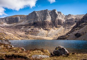
Unusual feature: At over 60m deep, Blea Water is the deepest tarn in the Lake District.
Pub quiz trivia: The same well-drained turfy ridge line that legionnaries once marched was later used to hold summer fairs where horses were raced. The alternative name for the summit area is still Racecourse Hill.
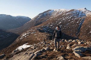
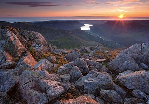
What's the best route? As a short fell day with maximum impact the classic round from Haweswater takes some beating. From the wooded headland of The Rigg follow the shapely Long Stile Ridge onto High Street's grassy summit plateau, then return via the ancient through-route of Nan Bield Pass. For details see this UKH Route Card
Where to stay? On the western side of the range there's Patterdale YHA 0845 371 9337
And afterwards? Try the Punchbowl Inn in Askham


Comments