


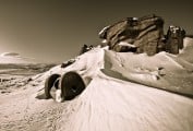


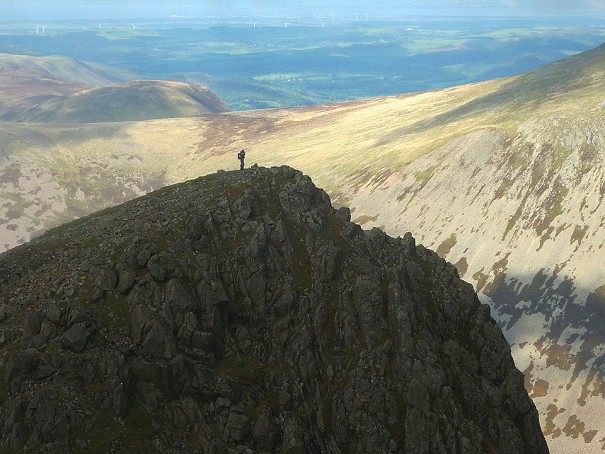
One Minute Mountain Steeple
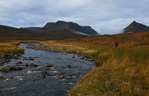
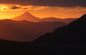
From some angles it's all drama; from others it's hardly there at all. Steeple is a fell with extremes of personality, says Alex Roddie, in our ongoing series of bite sized intros to Britain's favourite hills.
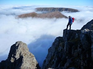
In our series of bite-sized intros to Britain's best-loved hills, Alex Roddie climbs everyone's favourite miniature mountain in the Peak District: Mam Tor.

Height: 517m (1696ft)
It's believed that the east flank of Mam Tor is moving downhill at up to 0.25m a year
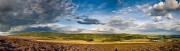
Personality: Mam Tor is the highest point of a long, elegantly sculpted ridge dividing Edale from Castleton (the Great Ridge). It's a mini mountain full of interest. The ridge's crest offers good paths and easy walking, but you'll also find prehistoric fortifications, geological curiosities, and more.
What's in a name? Mam Tor means 'mother hill'. To find out why, you'll need to take a look at the eastern flank, where countless landslips over thousands of years have given birth to many knolls and hummocks – child hills, if you like.
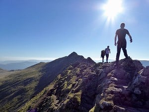
Best route: Most Peak District walkers would agree that the best way to enjoy Mam Tor is to walk the Great Ridge. Starting from either Hope or Castleton, the route climbs past Losehill Farm to reach the summit of Lose Hill at 476m. From here, follow the ridge west, with excellent views north across Edale to the Kinder edges. From Mam Tor, descend south then return to Castleton via the footpath along Cave Dale – which is an excellent walk in its own right.

Alternative routes: As one of the most popular hills in the Peak District, there aren't really any quiet routes here, but a direct ascent from Castleton via the abandoned old Mam Tor road and the east flank is tackled less often than the main ridge. It's very steep once you leave the old road. Views directly right across the shale cliffs of the escarpment are impressive. For a shorter walk, Mam Tor is also very do-able from Edale:
The epic one: A full round of the Edale skyline is an obvious challenge for hill runners and strong walkers:
it's also a cracking overnight backpacking circuit:
What happened to the old road? The clue's in its location, cutting across the constantly moving eastern face of the hill. Smaller landslides kept closing the road to traffic, and lengthy spells of roadworks were often required to get it open again – including in 1966 when the road was closed for six weeks. In 1974, after a particularly strong landslide, the decision was made to close it permanently. Today, this crumbling section of the road survives as a public right of way, offering a fascinating insight into the geological forces still shaping this landscape. It's believed that the east flank of Mam Tor is moving downhill at an average rate of up to 0.25m a year.

The people's mountain? Of all Britain's best-loved hills, I think Mam Tor can best claim the title of 'the people's mountain'. It's high and steep enough to feel like a challenge for newcomers to hillwalking, but not too high or steep, and the easy route from the west is extremely accessible. It's hard to think of a better first hill.

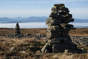
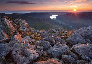
Summit landmarks: A neat trig pillar set amongst stones offers expansive views over Edale to the north. A little way beneath the summit on all sides you'll find the ramparts of an ancient hill fort dating from the late Bronze Age. Archaeologists have found evidence of workings, fortifications and burial mounds at many locations on Mam Tor. With its commanding position between valleys, it isn't surprising that ancient people chose it as a hilltop stronghold.
Hidden gem: On the north side of the Great Ridge, Backtor Wood is a beautiful spot to explore. The north face of Back Tor has experienced many landslides in much the same way as Mam Tor, piling up a complex and hummocky landscape just beneath, and it's in this collection of lumps and bumps that you'll find an open and pleasant wood growing up through the scree. It's a pretty spot for lunch on a sunny day.

Where to stay? Edale or Castleton make the most convenient bases. In Edale there are campsites (Fieldhead Campsite recommended) and YHA Edale. Castleton has many options, including B&B at the Rambler's Rest and YHA Castleton Losehill Hall.
Local pub: The Old Nags Head, Edale, is the classic spot for a drink and a bite to eat after climbing Mam Tor.
Accommodation Advertise here
No Premier Listings found in this area
Outdoor Shops Advertise here
No Premier Listings found in this area
Instructor/Guides Advertise here
No Premier Listings found in this area


Comments