


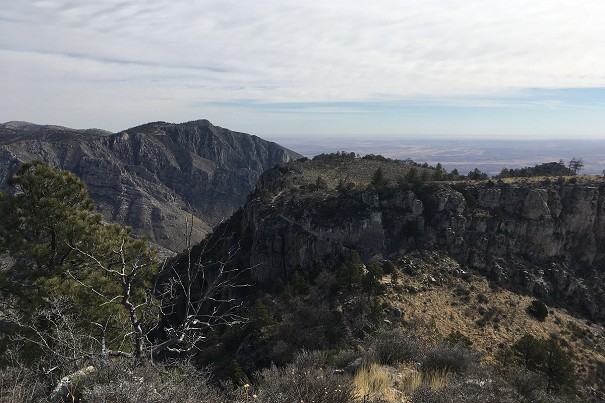
Destination Hillwalking in Wild West Texas
In Spring 2022, Munroist Ian Robertson went to the desert hills of west Texas in search of something a bit different, and ended up having one of the best trips of his 30-year hillwalking career.
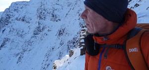
The Pyrenees may be only the second greatest mountain range in western Europe, but for unspoilt beauty they are second to none. An immense upland barrier splayed across the full length of the Franco-Spanish border from Atlantic to Mediterranean, their walking and climbing potential is vast. In their wilder recesses deep solitude can still be found, the sort of remoteness that has long ago been developed out of existence across most of the continent. Cow bells echoing through ancient stone-built villages, vultures circling the thermals above awesome canyons, jagged snow-streaked ridges reflecting in mountain lakes, dense steamy forests where elusive bears still snuffle about – there's a timelessness to the high mountains, a sense of the natural world as it has always been.

But there's just so much of it that the first timer could be forgiven for feeling baffled. So where to start? Try the far east, that little Catalan corner squeezed between Andorra and the Med, the final grand flourish of high peaks before the range rolls out into foothill vineyards and the sun-baked coastal plain. With budget air links to Carcassonne, Perpignan and Girona this is a convenient area for a short-ish trip from the UK; a hire car helps. From multi day hut-to-hut hikes to mountain rock climbs there's tons to do here, so I'll narrow the field further and concentrate on three quite different peaks between the valleys of the Aude and Ariège.
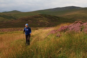
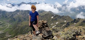
 © Dan Bailey
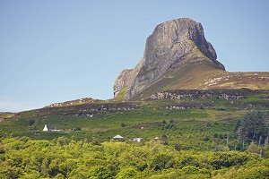
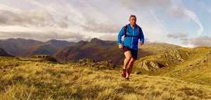
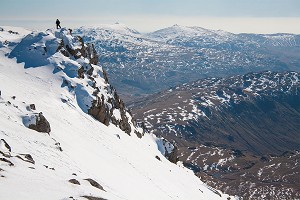
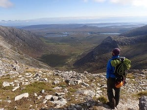
The high ground that waters the Aude is known locally as Little Canada for the quantity and quality of its winter snow cover, and there are several tiny low key ski resorts; think scaled-down Aviemores with better food. Step into the woods and the bustle soon dies away. To the west stands the compact-but-wild Carlit massif, a grizzled granite upland of pines and tarn-scattered table lands, out of which rise stony peaks. Tallest is Puig (or Pic) Carlit. Its 2921m might seem a lot, but since it rises from a high base the relative elevations are modest enough to make it a manageable day trip.

Take the dead end forest road linking the Napoleonic fort of Mont-Louis with the dammed Lac des Bouillouses, where cars can be parked. Cross the barrage, pass a big mountain hotel-cum chalet thing and head northwest into the woods. The path passes several gorgeous tarns, and the dwarf pines begin to thin out as Puig Carlit looms up ahead. From this angle it vaguely resembles Ben Lui as seen from Dalrigh – twin peaks and a steep corrie headwall split by a prominent central gully.
The path takes the ridge bounding the left side of the corrie with a couple of scrappy scrambly moments on the way, then traverses right above the central gully to reach the short summit crest between the peaks; the high point is on the left. It's quite good value in the snow, but falls short of a grade I winter climb. From the summit the view west takes in row after row of peaks crowding off towards the heart of the range; in the east Mont Canigou is prominent, the very last of the high Pyrenees before the Med. Return the same way.


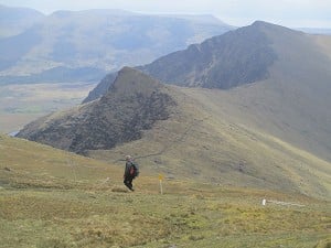
Though there are dozens of higher mountains in the area this spectacular granite shark's fin of a peak dominates the upper Ariège valley, its huge slabs sweeping out of a skirt of thick forest to give some of the longest rock climbs in the Pyrenees. Walkers will have to come at it from the less precipitous north side. Even from here it's pretty spiky, but there is an obvious line of weakness. It's good for a short day.
From the genteel spa town of Ax-les-Thermes follow the hairpin minor road towards Quillan, soon turning off for the village of Ascou. From here a dusty, unsurfaced forest track leads far uphill to terminate at a car park in the woods (best in a hire car, or at least a higher car). From here the Dent d'Orlu is unmistakeable. A well used path climbs through the trees to an open shoulder, leading to a signpost at a trail junction below the mountain's northeast flank. Take the right hand path for the very steep and slightly scrambly ascent to the airy 2222m summit overlooking the trough of the Ariège valley. The Dent d'Orlu is pretty precipitous. There are big cliffs on three sides so the only safe descent is the way you came. Head back to Ax-les-Thermes, where you can boil your feet for free in a hot spring in the town centre.

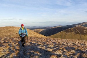
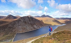
It's smaller than Pic Carlit and less spectacular than the Dent d'Orlu, but this rugged multi-topped hill has a wilder feel than either. Puig de la Portella Gran is one of the high points on the long twisting ridge that circles the head of the Ariège valley, and on this side the mountain drops away steeply into the valley depths; in contrast the eastern flank rises less sharply out of a high rolling plateau typical of the Carlit massif. Climbed from the cute ski village of Formigueres in the east it can be done in a day or as a more leisurely overnight trip based at the lake-shore hut of the Refuges de Camporells.


Using the resort uplifts and touring skis it's possible to reach the hut quickly in winter. On foot it's a pleasant stroll up the forested Lladura valley, then a steep haul onto the plateau. The refuge stands among pines beside Estany (lake) del Mig. Across the water rises the hulk of Puig Peric, at 2810m the highest in the northern Carlit, and just behind to its right Puig de la Portella Gran. First head northwest, the plateau rising gently to Pic de Mortiers overlooking the Ariège valley. Go southwest along the watershed crest. Beyond the ominously named Coll de l'Homme Mort the skyline route is barred by the rocky molar of the Puig de Morters, best skirted to the left via a shallow corrie.
Keep heading south parallel to the crest to reach the eastern flank of Puig de la Portella Gran, which gives the most forgiving line of ascent – just steep enough to be fun in winter, but not quite a climb. From a mini col it's a short scramble to the high point at 2765m. Again the easiest way off is to reverse the ascent, before heading east back to the refuge; it would also be possible to make a longer circuit taking in Puig Peric.
When to go
The southern fringe of the Carlit massif is home to a solar power research centre, and the world's largest solar furnace at Odeillo; that should give you some idea what to expect here in summer. During this oven-like time of year the high tarns come into their own. At the opposite extreme snow can reasonably be expected from late autumn, and after a heavy season it can stick around in quantity late into spring. In the depths of winter snow shoes or touring skis may sometimes prove essential, though we've got by fine without them in a lean spell. The old cliché about all winter hillwalking being mountaineering holds true here, and while they don't generally have enough verticality to really stretch decent alpinists the summits do need a bit of basic competence in snow. Fans of esoteric winter climbing could find quite a bit to go at on the steeper faces.
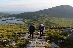
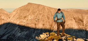
 © Dan Bailey
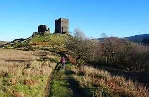
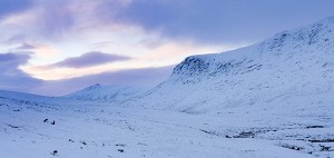
Maps
Guidebooks
Where to stay
Carlit massif:
Ariege:
In Spring 2022, Munroist Ian Robertson went to the desert hills of west Texas in search of something a bit different, and ended up having one of the best trips of his 30-year hillwalking career.

Daft online reviews occasionally make it into the mainstream media, and they don't get much sillier than complaints about mountains. Since we're not above laughing at the less hill-savvy, we've mined Tripadvisor for some...


Comments