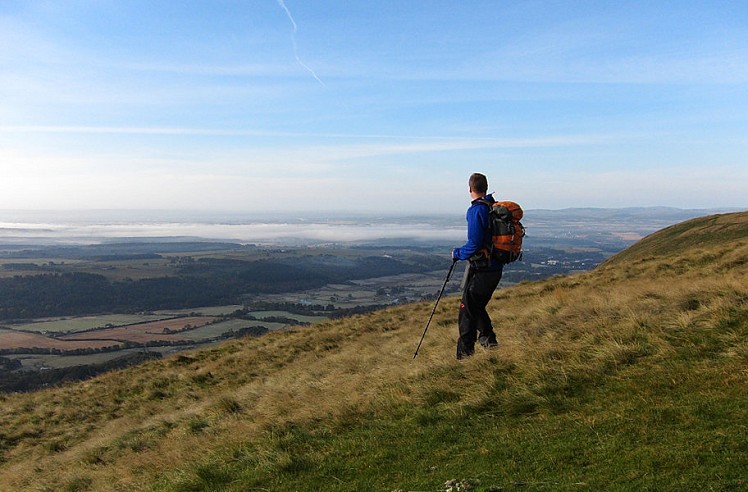
The Ochil Hills offer easy-access walks and spacious views spanning the Central Belt. It's an extensive range, stretching east from Stirling to north Fife and the Tay. But the best bits are crammed into the southwest corner, where the Ochils' highest summits rise as a steep green wall over the low-lying Forth basin and the Hillfoots villages of Dollar, Alva and Tillicoultry. With its gorges, woods and waterfalls this southern flank gives the most interesting approaches to the summits - and none more so than Dollar Glen, where the imposing Castle Campbell guards a wooded spur between the cascading Burns of Care and Sorrow. The rolling, grassy hills above are very worthwhile too.
Detailed description
This has been viewed 12,588 times
Download
OS maps and some other mapping apps don't allow waypointsStatistics
Difficulty: ModerateDistance: 9.67 miles (15.56 km)
Total ascent: 914m
Steepest Gradient: 29% (1 in 3)
Time: 4 – 6 hours (Walking)
to rate this walk.
Summits
King's Seat Hill 648 mAndrew Gannel Hill 670 m
Ben Cleuch 721 m
Tarmangie Hill 645 m
Whitewisp Hill 643 m
Additional Information
Start/Finish:Top car park in Dollar Glen, near Castle Campbell, NS962993
Nearest town:
Dollar
Terrain:
Easy grassy ground, but quite boggy in places. Well-trodden paths in the main, and few particularly steep inclines, except for the pathless descent off Saddle Hill.
Seasonal variations:
A fairly long day out in deep snow conditions, when skis would be a fun alternative to walking. These grassy, rolling hills are ideal for ski touring.
Weather and Hill Conditions: mwis: Cairngorms & Monadhliath – Met Office: West Highlands
Public transport:
Bus to Dollar from Stirling or Alloa
Guidebooks:
Southern Highlands by Nick Williams (pb. Pocket Mountains) includes a description of the Dollar Glen hills, though not the western leg over Andrew Gannel and Ben Cleuch http://www.pocketmountains.com/product/southern-highlands
Maps:
OS Explorer 366 (1:25,000), OS Explorer 367 (1:25,000), OS Landranger 58 (1:50,000) Directory Listings:
Find more Listings near this route Tourist info:
Alva (08707 200 605); Auchterarder (01764 663450); Stirling (Royal Burgh) (08707 200 622)
Further Routes
by Dan Bailey UKH
- A' Chralaig and Mullach Fraoch-choire 4 Dec, 2023
- Meall na Teanga & Sron a' Choire Ghairbh - The Loch Lochy Munros 6 Nov, 2023
- Bynack More 19 Oct, 2023
- Beinn a' Mhuinidh 4 Oct, 2023
- Loch Ossian round - Seven Munros by Train 15 Sep, 2023


