


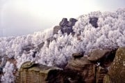
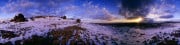
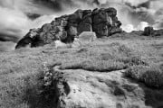
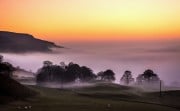


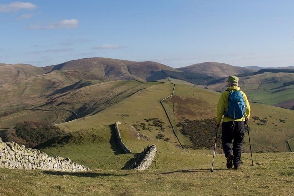
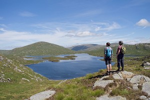
Mini Guide The Cheviots
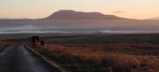
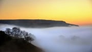
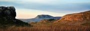
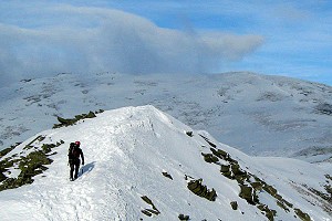
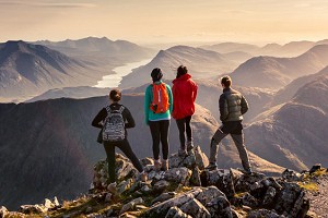
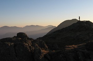
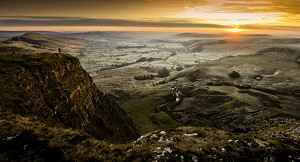
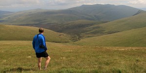
Long grassy ridges; quiet, empty glens winding into the hills; and some bleak, heathery moorland along the top of it all. For a combination of nobody else about, with a huge amount of hillwalking, it's hard to beat the Cheviots. Ronald Turnbull...


Comments